Digital Asset : 342719
| P number: | P748604 |
|---|---|
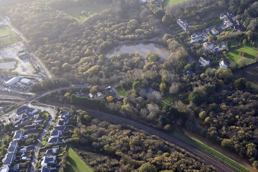
| Caption: | Tywardreath and St Blazey aerial views, 17th November 2010. |
| Description: | Tywardreath and St Blazey aerial views of the railway infrastructure, South Cornwall, 17th November 2010. |
| Date taken: | Wed Nov 17 00:00:00 GMT 2010 |
| Photographer: | Davies, G. |
| Copyright statement: | NERC |
| Acknowledgment: | Photographer: Graham Davies |
| X longitude/easting: | 207725 |
| Y latitude/northing: | 054267 |
| Coordinate reference system, ESPG code: | 27700 (OSGB 1936 / British National Grid) |
| Orientation: | Landscape |
| Size: | 284.26 KB; 1000 x 667 pixels; 85 x 56 mm (print at 300 DPI); 265 x 176 mm (screen at 96 DPI); |
| Average Rating: | Not yet rated |
| Categories: | Special collections/ Flooding, Cornwall, November 2010 |
Loading...
Loading...
Reviews
There is currently no feedback