| P number: | P225577 |
|---|---|
| Old photograph number: | NI00903 |
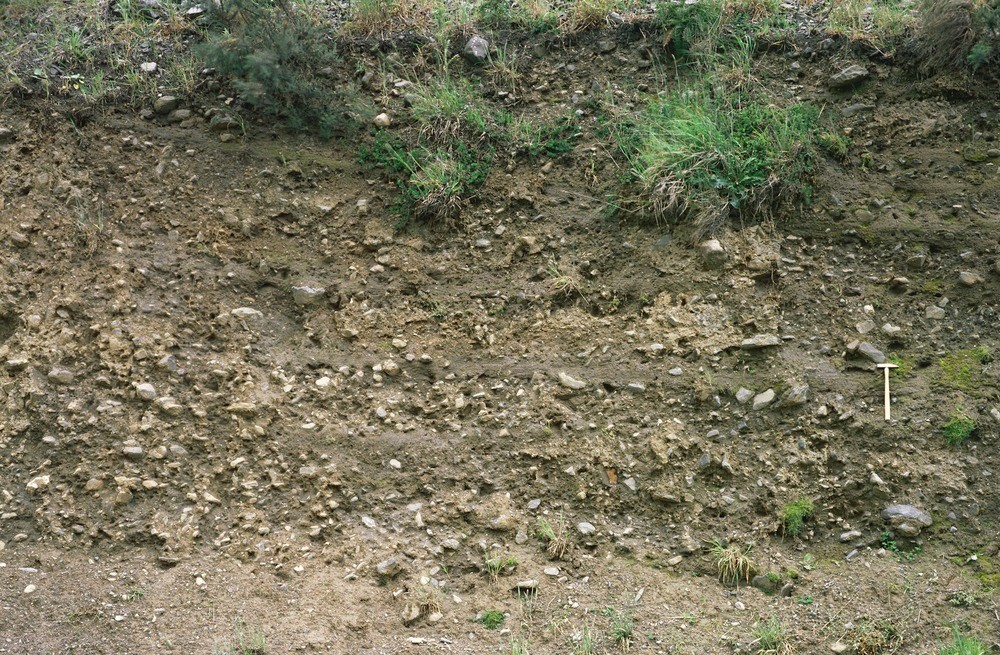
| Caption: | Glebe Hill Quarry, W. face of entrance road to lower level, 1.375 km. SSE of Tandragee Castle. |
| Description: | Glebe Hill Quarry, W. face of entrance road to lower level, 1.375 km. SSE of Tandragee Castle. Glacial flow tills. Intercolation of thin beds of mud and silt rhythmites in a sequence of subaqueous flow tills. |
| Date taken: | Thu Jan 01 00:00:00 GMT 1981 |
| Photographer: | Jeffery, C.J. |
| Copyright statement: | NERC |
| X longitude/easting: | 303360 |
| Y latitude/northing: | 344980 |
| Coordinate reference system, ESPG code: | 2157 (IRENET95 / Irish Transverse Mercator) |
| Orientation: | Landscape |
| Size: | 614.10 KB; 1000 x 655 pixels; 85 x 55 mm (print at 300 DPI); 265 x 173 mm (screen at 96 DPI); |
| Average Rating: | Not yet rated |
| Categories: | Special collections/ Northern Ireland/ Armagh |
Loading...
Loading...
Reviews
There is currently no feedback