| P number: | P225533 |
|---|---|
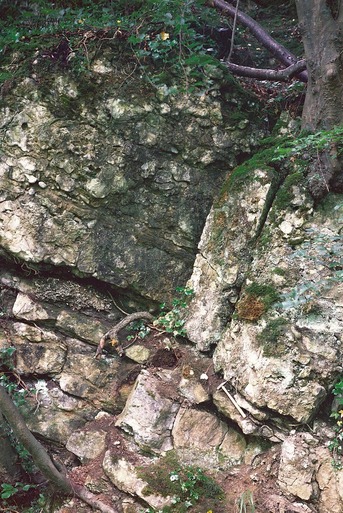
| Old photograph number: | NI00859 |
| Caption: | 60 m. W. of Maydown Quarry. |
| Description: | 60 m. W. of Maydown Quarry. Intraformational Lower Carboniferous conglomerate. Conformable junction of limestones and shales of the Maydown Formation (below) and conglomerates and sandstones of the Crow Hill Member (above), of Asbian age. |
| Date taken: | Thu Jan 01 00:00:00 GMT 1981 |
| Photographer: | Jeffery, C.J. |
| Copyright statement: | NERC |
| X longitude/easting: | 281590 |
| Y latitude/northing: | 351800 |
| Coordinate reference system, ESPG code: | 2157 (IRENET95 / Irish Transverse Mercator) |
| Orientation: | Portrait |
| Size: | 642.12 KB; 668 x 1000 pixels; 57 x 85 mm (print at 300 DPI); 177 x 265 mm (screen at 96 DPI); |
| Average Rating: | Not yet rated |
| Categories: | Special collections/ Northern Ireland/ Armagh |
Loading...
Loading...
Reviews
There is currently no feedback