| P number: | P225531 |
|---|---|
| Old photograph number: | NI00857 |
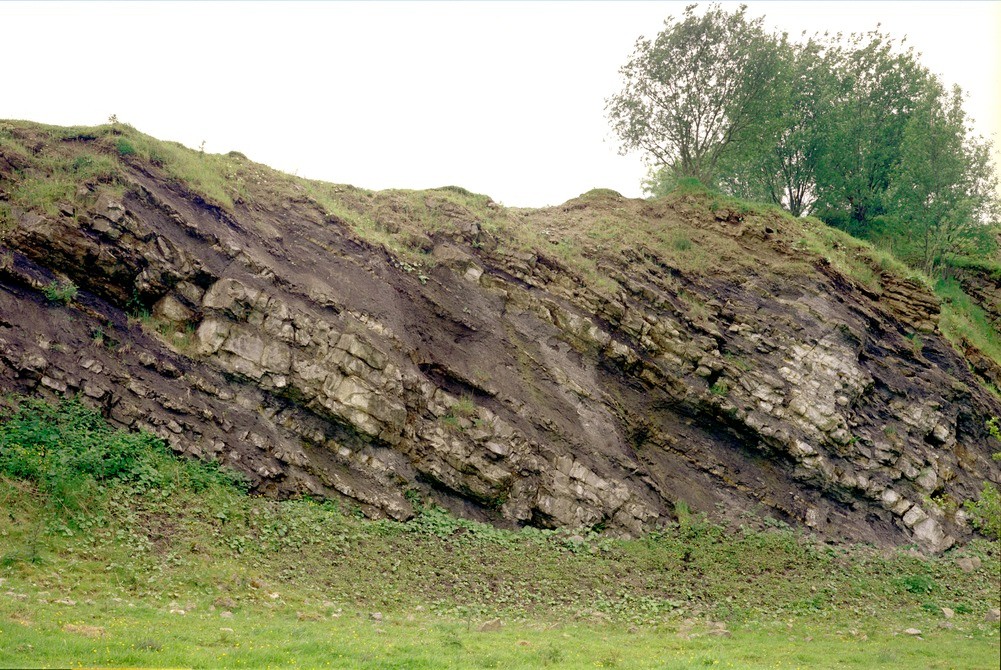
| Caption: | Maydown Quarry, 1/2 km. SE of Benburb. |
| Description: | Maydown Quarry, 1/2 km. SE of Benburb. Lower Carboniferous limestones and shales. Carboniferous limestones and dark shales of the Maydown Limestone Formation (Asbian) near base of quarry section. |
| Date taken: | Thu Jan 01 00:00:00 GMT 1981 |
| Photographer: | Jeffery, C.J. |
| Copyright statement: | NERC |
| X longitude/easting: | 281750 |
| Y latitude/northing: | 351900 |
| Coordinate reference system, ESPG code: | 2157 (IRENET95 / Irish Transverse Mercator) |
| Orientation: | Landscape |
| Size: | 546.88 KB; 1001 x 670 pixels; 85 x 57 mm (print at 300 DPI); 265 x 177 mm (screen at 96 DPI); |
| Average Rating: | Not yet rated |
| Categories: | Special collections/ Northern Ireland/ Armagh |
Loading...
Loading...
Reviews
There is currently no feedback