| P number: | P002051 |
|---|---|
| Old photograph number: | C00902 |
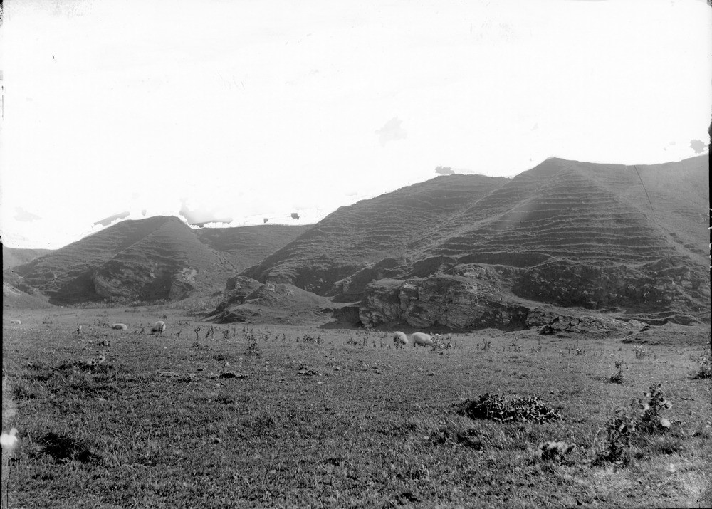
| Caption: | Near Westport, 9.0 km. north-west of Campbeltown, Kintyre, Argyllshire. Cliff behind raised beach. |
| Description: | Near Westport, 9.0 km. north-west of Campbeltown, Kintyre, Argyllshire. Cliff behind raised beach. Cliff forming upper margin of 16.8 m. raised beach showing marine erosion of Dalradian schists (Stonefield Schists, Crinan Subgroup, Argyll Group) and overlying boulder clay. Raised beaches are common features along the coast of Scotland and were formed when the sea level was higher than at present. This typically occurs when an ice-cap retreats, rapidly releasing large quantities of water which raises the sea level. However, through time, the land rises isostatically with the removal of the ice load, and the sea-level appears to fall again relative to the land. |
| Date taken: | Mon Jan 01 00:00:00 GMT 1900 |
| Photographer: | Lunn, R. |
| Copyright statement: | Crown |
| Acknowledgment: | This image was digitized with grant-in-aid from SCRAN the Scottish Cultural Resources Access Network |
| X longitude/easting: | 165500 |
| Y latitude/northing: | 626500 |
| Coordinate reference system, ESPG code: | 27700 (OSGB 1936 / British National Grid) |
| Orientation: | Landscape |
| Size: | 204.88 KB; 1000 x 715 pixels; 85 x 61 mm (print at 300 DPI); 265 x 189 mm (screen at 96 DPI); |
| Average Rating: | Not yet rated |
| Categories: | Unsorted Images, Geoscience subjects/ Landforms, marine/ Raised beaches |
Loading...
Loading...
Reviews
There is currently no feedback