| P number: | P225150 |
|---|---|
| Old photograph number: | NI00467 |
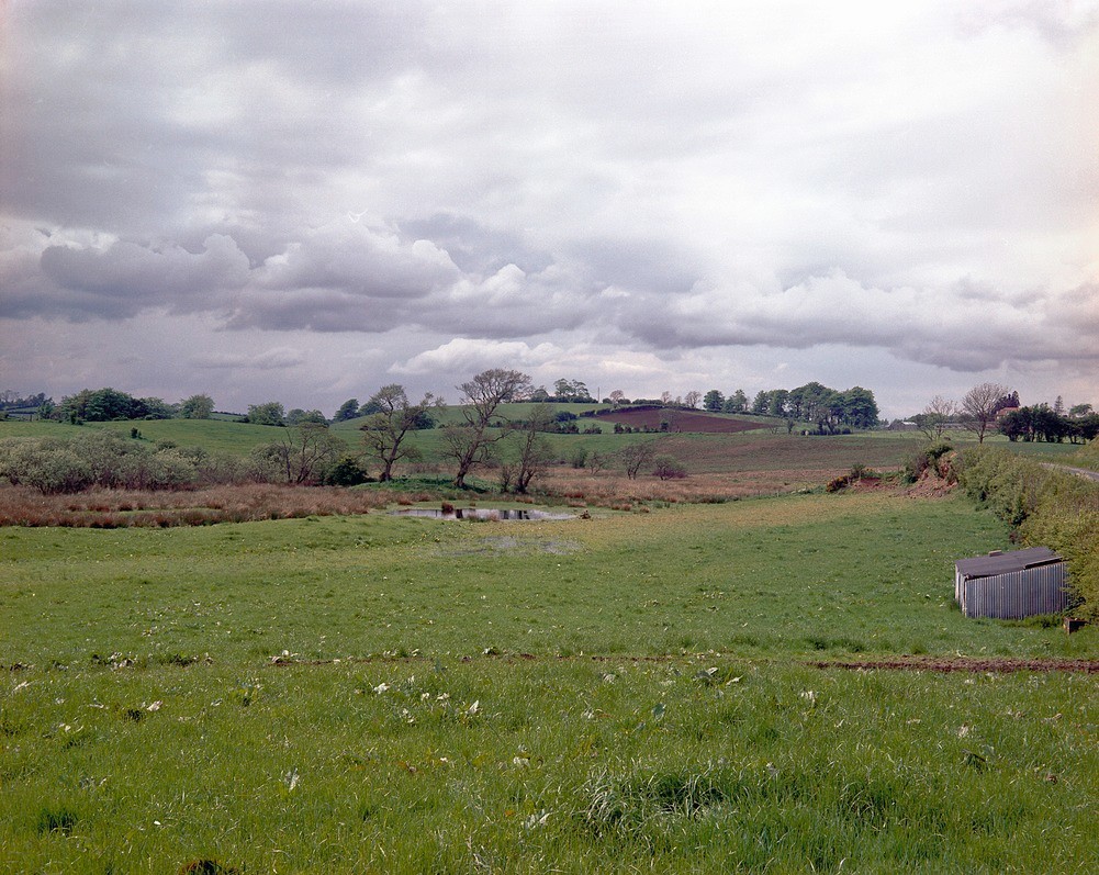
| Caption: | Tullyleck Townland, 200 yd. NW of Backford Bridge NE of Donaghmore. Looking ESE. |
| Description: | Tullyleck Townland, 200 yd. NW of Backford Bridge NE of Donaghmore. Looking ESE. Kettle hole in glacial sands. Typical kettle hole in mounded glacial sands with a temporary stand of water in the bottom. |
| Date taken: | Sat May 01 00:00:00 BST 1965 |
| Photographer: | Pulsford, J.M. |
| Copyright statement: | NERC |
| X longitude/easting: | 276100 |
| Y latitude/northing: | 365800 |
| Coordinate reference system, ESPG code: | 2157 (IRENET95 / Irish Transverse Mercator) |
| Orientation: | Landscape |
| Size: | 512.60 KB; 1001 x 797 pixels; 85 x 67 mm (print at 300 DPI); 265 x 211 mm (screen at 96 DPI); |
| Average Rating: | Not yet rated |
| Categories: | Special collections/ Northern Ireland/ Tyrone |
Loading...
Loading...
Reviews
There is currently no feedback