| P number: | P225039 |
|---|---|
| Old photograph number: | NI00356 |
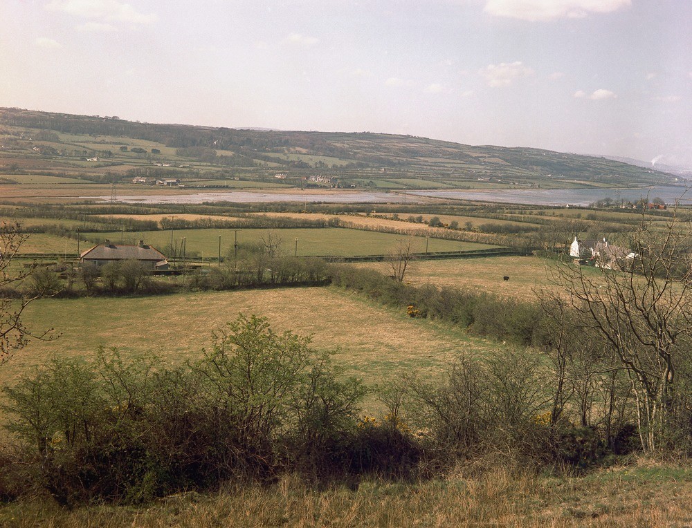
| Caption: | NW of Muldersleigh Hill, Islandmagee. Looking NW. |
| Description: | NW of Muldersleigh Hill, Islandmagee. Looking NW. General view of the south end of Larne Lough. Larne Lough basin floored (centre and foreground) by drift-covered Keuper Marl. Subdued Cretaceous-Lower Basalt escarpment in background passing through the wooded Red Hall Estate left-hand side northwards to Magheramorne. |
| Date taken: | Sun Apr 01 00:00:00 BST 1962 |
| Photographer: | Pulsford, J.M. |
| Copyright statement: | Crown |
| X longitude/easting: | 347500 |
| Y latitude/northing: | 393600 |
| Coordinate reference system, ESPG code: | 2157 (IRENET95 / Irish Transverse Mercator) |
| Orientation: | Landscape |
| Size: | 529.44 KB; 1000 x 764 pixels; 85 x 65 mm (print at 300 DPI); 265 x 202 mm (screen at 96 DPI); |
| Average Rating: | Not yet rated |
| Categories: | Special collections/ Northern Ireland/ Antrim |
Loading...
Loading...
Reviews
There is currently no feedback