| P number: | P001968 |
|---|---|
| Old photograph number: | C03522 |
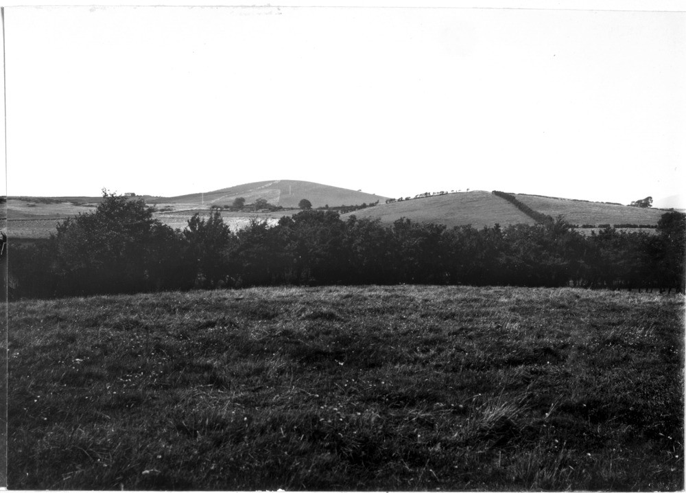
| Caption: | Around Wigtown, Galloway. |
| Description: | Around Wigtown, Galloway. Panorama of typical drumlin country. A group of ice-moulded hills in 'The Machars' region of Galloway. As upstanding areas, drumlins are generally well-drained from an agricultural point of view, though the soils can be quite heavy if derived from a clay-rich boulder clay. However, the hollows between the drumlins are commonly poorly-drained and peaty. Drumlins are ice-moulded landforms and characteristic of glaciated terranes. They can consist entirely of boulder clay or be partly or completely rock-cored. Drumlins are elliptical in plan with their long-axes oriented parallel to the direction of ice flow. They commonly occur as drumlin-fields consisting of tens or even hundreds of individual drumlins. |
| Date taken: | Wed Aug 01 00:00:00 BST 1934 |
| Photographer: | Fisher, W.D. |
| Copyright statement: | Crown |
| Acknowledgment: | This image was digitized with grant-in-aid from SCRAN the Scottish Cultural Resources Access Network |
| X longitude/easting: | 243500 |
| Y latitude/northing: | 555500 |
| Coordinate reference system, ESPG code: | 27700 (OSGB 1936 / British National Grid) |
| Orientation: | Landscape |
| Size: | 158.24 KB; 1000 x 718 pixels; 85 x 61 mm (print at 300 DPI); 265 x 190 mm (screen at 96 DPI); |
| Average Rating: | Not yet rated |
| Categories: | Unsorted Images, Geoscience subjects/ Landforms, glaciation/ Drumlins |
Loading...
Loading...
Reviews
There is currently no feedback