| P number: | P001955 |
|---|---|
| Old photograph number: | C01701 |
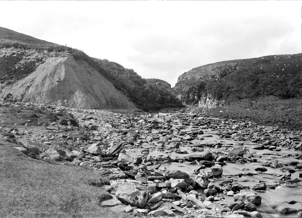
| Caption: | Dunbeath Water near Balantrath, about 2.5 km. north-west of Dunbeath, Caithness. Exit from postglacial gorge in flagstones of Berriedale Sandstone Formation. Cliff of till on left, and till filling pre-glacial channel on right. |
| Description: | Dunbeath Water near Balantrath, about 2.5 km. north-west of Dunbeath, Caithness. Exit from postglacial gorge in flagstones of Berriedale Sandstone Formation. Cliff of till on left, and till filling pre-glacial channel on right. Thinly-bedded flaggy purple siltstones and sandstones forming the upper part of the Berriedale Sandstone Formation (Middle Devonian). The pre-glacial channel of this river, to the right of the cliffs, is now filled with till. Note large cliff of till on left. Alluvial plain of Dunbeath Water in foreground. |
| Date taken: | Sat Jan 01 00:00:00 GMT 1910 |
| Photographer: | Lunn, R. |
| Copyright statement: | Crown |
| Acknowledgment: | This image was digitized with grant-in-aid from SCRAN the Scottish Cultural Resources Access Network |
| X longitude/easting: | 314500 |
| Y latitude/northing: | 930500 |
| Coordinate reference system, ESPG code: | 27700 (OSGB 1936 / British National Grid) |
| Orientation: | Landscape |
| Size: | 269.83 KB; 1001 x 723 pixels; 85 x 61 mm (print at 300 DPI); 265 x 191 mm (screen at 96 DPI); |
| Average Rating: | Not yet rated |
| Categories: | Unsorted Images, Geoscience subjects/ Landforms, river/ Gorges and ravines |
Loading...
Loading...
Reviews
There is currently no feedback