| P number: | P223929 |
|---|---|
| Old photograph number: | LFP00574 |
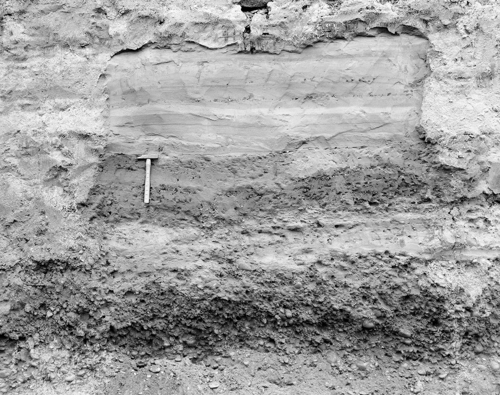
| Caption: | Old gravel pit on Austerfield Low Common, 7 miles south-east of Doncaster (section now destroyed). Looking S. |
| Description: | Old gravel pit on Austerfield Low Common, 7 miles south-east of Doncaster (section now destroyed). Looking S. Sand and gravel of 'Older River Greavel' of Doncaster area (in lower part of photograph) overlain apparently conformably by laminated sand of the 25-Foot Drift of the Vale of York. [The top of the 'Older River Gravel' is here unaffected by cryoturbation]. |
| Date taken: | Fri Oct 01 00:00:00 BST 1965 |
| Photographer: | Joyce, P. |
| Copyright statement: | NERC |
| X longitude/easting: | 466700 |
| Y latitude/northing: | 395810 |
| Coordinate reference system, ESPG code: | 27700 (OSGB 1936 / British National Grid) |
| Orientation: | Landscape |
| Size: | 401.99 KB; 1000 x 789 pixels; 85 x 67 mm (print at 300 DPI); 265 x 209 mm (screen at 96 DPI); |
| Average Rating: | Not yet rated |
| Categories: | Best of BGS Images/ Images from the archives |
Loading...
Loading...
Reviews
There is currently no feedback