| P number: | P223890 |
|---|---|
| Old photograph number: | LFP00535 |
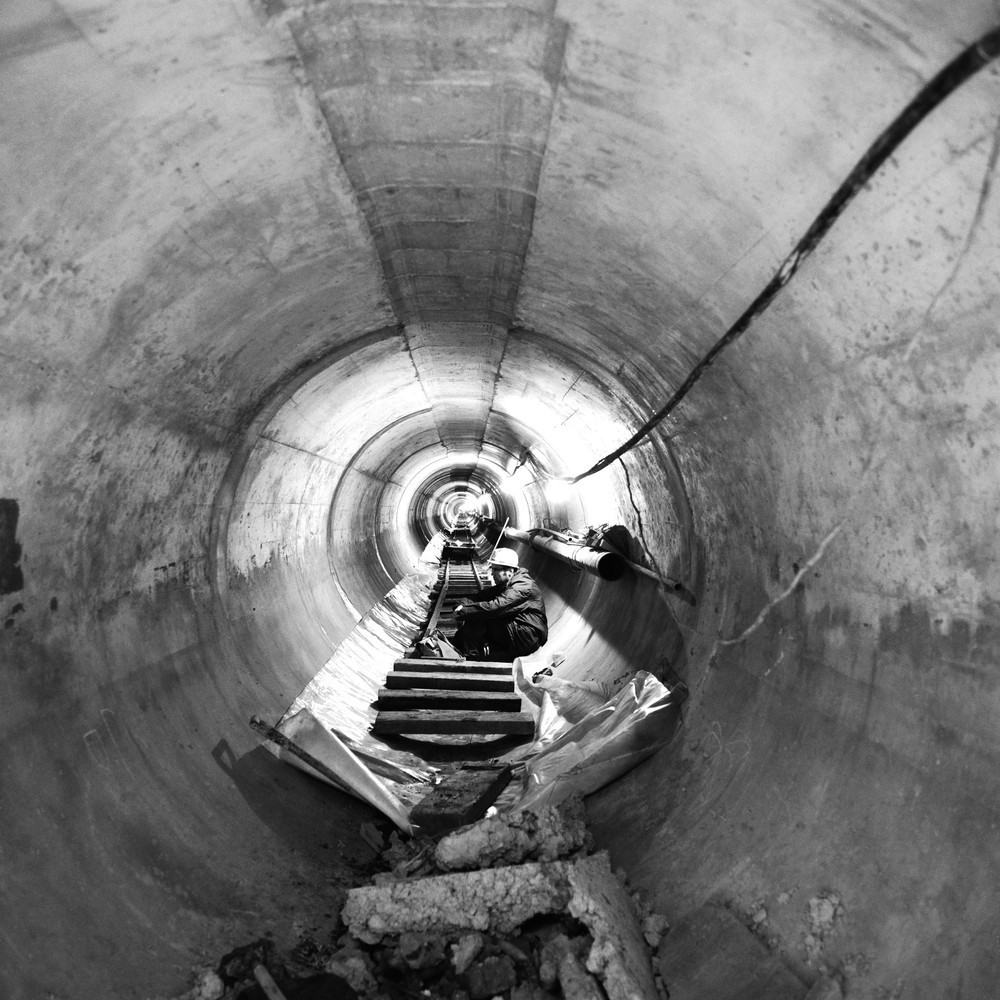
| Caption: | 4560 feet (1390m) from Troutbrook Shaft, Blackburn Corporation Main Outfall Sewer tunnel. Looking NW. |
| Description: | 4560 feet (1390m) from Troutbrook Shaft, Blackburn Corporation Main Outfall Sewer tunnel. Looking NW. Concrete lined tunnel ready for service. Looking in north-westerly direction inbye from westerly postal in Alum House Brook Valley. |
| Date taken: | Tue Oct 01 00:00:00 BST 1974 |
| Photographer: | Thornton, K.E. |
| Copyright statement: | NERC |
| Additional information: | Published to Geoscenic on 22/04/2016. |
| X longitude/easting: | 363160 |
| Y latitude/northing: | 428090 |
| Coordinate reference system, ESPG code: | 27700 (OSGB 1936 / British National Grid) |
| Orientation: | Square |
| Size: | 233.45 KB; 1000 x 1000 pixels; 85 x 85 mm (print at 300 DPI); 265 x 265 mm (screen at 96 DPI); |
| Average Rating: | Not yet rated |
| Categories: | Unsorted Images |
Loading...
Loading...
Reviews
There is currently no feedback