| P number: | P001851 |
|---|---|
| Old photograph number: | C00016 |
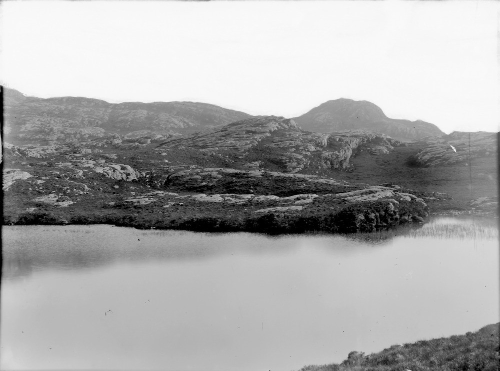
| Caption: | 1.5 km. north of Meall an Spardain, Poolewe, Ross & Cromarty. General view of Lewisian gneiss scenery in centre of Poolewe anticline. |
| Description: | 1.5 km. north of Meall an Spardain, Poolewe, Ross & Cromarty. General view of Lewisian gneiss scenery in centre of Poolewe anticline. The largely quartzofeldspathic gneiss has been eroded during Pleistocene glaciations to produce an irregular, hummocky topography with many ice-smoothed surfaces. Poorly-drained hollows are occupied by lochans or filled with peat.The hills in the middle distance have ridges parallel to the direction of ice movement, and blocks have been plucked from the lee side of upstanding hillocks to form roches moutonnees. Linear north-west - south-east trending hollows have been eroded along the lines of the Scourie dykes. |
| Date taken: | Thu Jan 01 00:00:00 GMT 1891 |
| Photographer: | Lunn, R. |
| Copyright statement: | Crown |
| Acknowledgment: | This image was digitized with grant-in-aid from SCRAN the Scottish Cultural Resources Access Network |
| X longitude/easting: | 185500 |
| Y latitude/northing: | 875800 |
| Coordinate reference system, ESPG code: | 27700 (OSGB 1936 / British National Grid) |
| Orientation: | Landscape |
| Size: | 128.05 KB; 1000 x 743 pixels; 85 x 63 mm (print at 300 DPI); 265 x 197 mm (screen at 96 DPI); |
| Average Rating: | Not yet rated |
| Categories: | Unsorted Images, Geoscience subjects/ General views/ Metamorphic rock country |
Loading...
Loading...
Reviews
There is currently no feedback