| P number: | P223032 |
|---|---|
| Old photograph number: | L02531 |
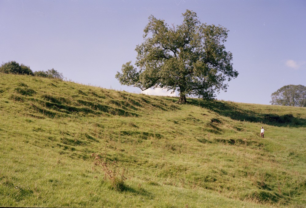
| Caption: | 250 m. NW of Littlepark Farm, Okeover. Looking WNW. |
| Description: | 250 m. NW of Littlepark Farm, Okeover. Looking WNW. Landslip area, north-west of Littlepark Farm, Okeover. View showing the back part of a rotational slide. The main scarp is in shadow at the back while two well-defined minor scarps with terracettes on the right flank of the slip are in partial shadow approximately 5 and 20 metres in front of the geologist. The landslip is thought to be a late-Devensian or early post-glacial feature. |
| Date taken: | Mon Sep 01 00:00:00 BST 1980 |
| Photographer: | Thornton, K.E. |
| Copyright statement: | NERC |
| X longitude/easting: | 415790 |
| Y latitude/northing: | 349140 |
| Coordinate reference system, ESPG code: | 27700 (OSGB 1936 / British National Grid) |
| Orientation: | Landscape |
| Size: | 279.50 KB; 1000 x 679 pixels; 85 x 57 mm (print at 300 DPI); 265 x 180 mm (screen at 96 DPI); |
| Average Rating: | Not yet rated |
| Categories: | Unsorted Images, Geoscience subjects/ Landforms, weathering/ Landslips |
Loading...
Loading...
Reviews
There is currently no feedback