| P number: | P222952 |
|---|---|
| Old photograph number: | L02439 |
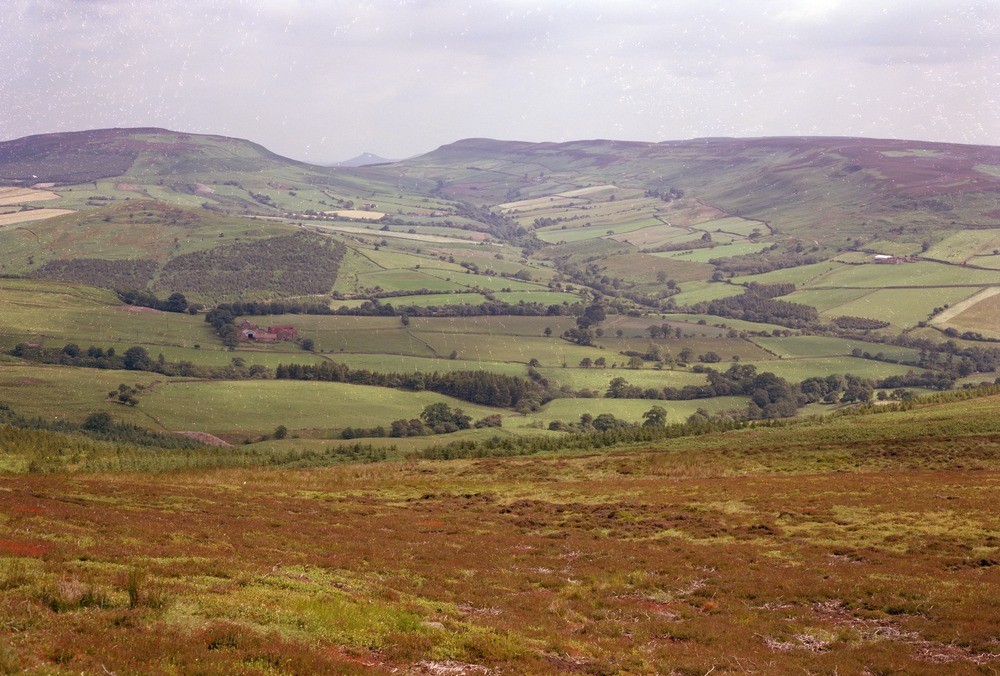
| Caption: | Raisdale. Looking NNE. |
| Description: | Raisdale. Looking NNE. General view from Upper Raisdale to Roseberry Topping showing the contrasting vegetation of the fertile Lias shales in the valley with the heather and bracken-clad moorlands of Cringle and Cold Moor. The Middle Jurassic sandstone features on Cold Moor (right) show gentle undulations of dip. |
| Date taken: | Tue Jul 01 00:00:00 BST 1980 |
| Photographer: | Thornton, K.E. |
| Copyright statement: | NERC |
| X longitude/easting: | 452870 |
| Y latitude/northing: | 499780 |
| Coordinate reference system, ESPG code: | 27700 (OSGB 1936 / British National Grid) |
| Orientation: | Landscape |
| Size: | 228.62 KB; 1000 x 676 pixels; 85 x 57 mm (print at 300 DPI); 265 x 179 mm (screen at 96 DPI); |
| Average Rating: | Not yet rated |
| Categories: | Unsorted Images |
Loading...
Loading...
Reviews
There is currently no feedback