| P number: | P222859 |
|---|---|
| Old photograph number: | L02268 |
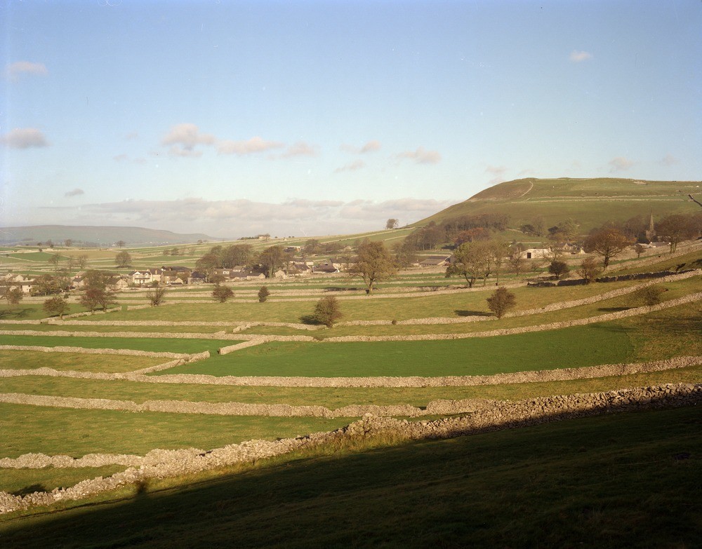
| Caption: | Chelmorton Low. |
| Description: | Chelmorton Low. Scarp of Monsal Dale Limestones (overlying Upper Miller's Dale Lava). Bee Low Limestones form the lower ground on the left. |
| Date taken: | Sun Apr 01 00:00:00 BST 1979 |
| Photographer: | Thornton, K.E. |
| Copyright statement: | NERC |
| X longitude/easting: | 411400 |
| Y latitude/northing: | 370600 |
| Coordinate reference system, ESPG code: | 27700 (OSGB 1936 / British National Grid) |
| Orientation: | Landscape |
| Size: | 191.75 KB; 1000 x 783 pixels; 85 x 66 mm (print at 300 DPI); 265 x 207 mm (screen at 96 DPI); |
| Average Rating: | Not yet rated |
| Categories: | Unsorted Images, Geoscience subjects/ Landforms, river/ Escarpments |
Loading...
Loading...
Reviews
There is currently no feedback