| P number: | P222799 |
|---|---|
| Old photograph number: | L02199 |
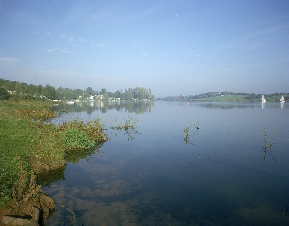
| Caption: | SW side of Bottom Flash, edge of lake due E. of Weavergreen. |
| Description: | SW side of Bottom Flash, edge of lake due E. of Weavergreen. Bottom Flash, Winsford, a result of widening and flooding by the River Weaver, where it flows across a belt of country affected by salt subsidence. Winsford town, beyond the trees in the distance, was where the pumping causing the subsidence took place. |
| Date taken: | Sun Oct 01 00:00:00 BST 1978 |
| Photographer: | Thornton, K.E. |
| Copyright statement: | NERC |
| X longitude/easting: | 366000 |
| Y latitude/northing: | 364900 |
| Coordinate reference system, ESPG code: | 27700 (OSGB 1936 / British National Grid) |
| Orientation: | Landscape |
| Size: | 130.11 KB; 1001 x 784 pixels; 85 x 66 mm (print at 300 DPI); 265 x 207 mm (screen at 96 DPI); |
| Average Rating: | Not yet rated |
| Categories: | Unsorted Images, Geoscience subjects/ Geohazards/ Subsidence |
Loading...
Loading...
Reviews
There is currently no feedback