| P number: | P222340 |
|---|---|
| Old photograph number: | L01524 |
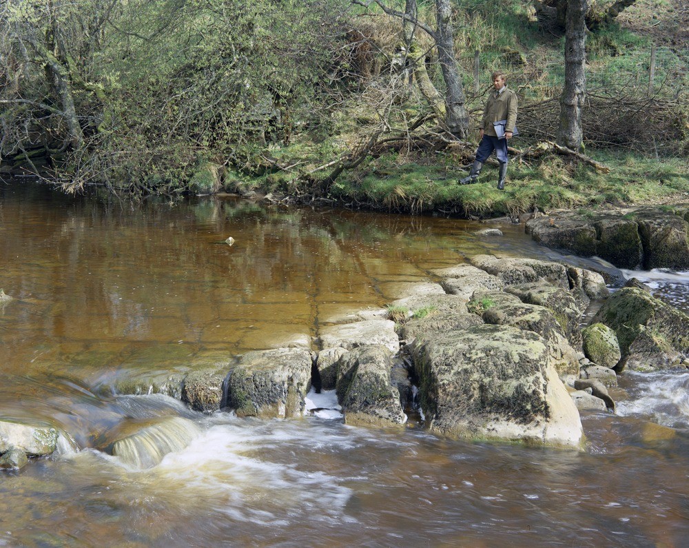
| Caption: | Chirdon Burn near Bower. |
| Description: | Chirdon Burn near Bower. Sandy limestone with well-developed joint pattern seen in Chirdon Burn. The limestone is a few metres above the Leahill Limestone (Upper Border Group). |
| Date taken: | Tue Apr 01 00:00:00 BST 1975 |
| Photographer: | Thornton, K.E. |
| Copyright statement: | NERC |
| X longitude/easting: | 375310 |
| Y latitude/northing: | 582610 |
| Coordinate reference system, ESPG code: | 27700 (OSGB 1936 / British National Grid) |
| Orientation: | Landscape |
| Size: | 373.60 KB; 1000 x 795 pixels; 85 x 67 mm (print at 300 DPI); 265 x 210 mm (screen at 96 DPI); |
| Average Rating: | Not yet rated |
| Categories: | Unsorted Images, Geoscience subjects/ Structural geology/ Jointing |
Loading...
Loading...
Reviews
There is currently no feedback