| P number: | P222332 |
|---|---|
| Old photograph number: | L01515 |
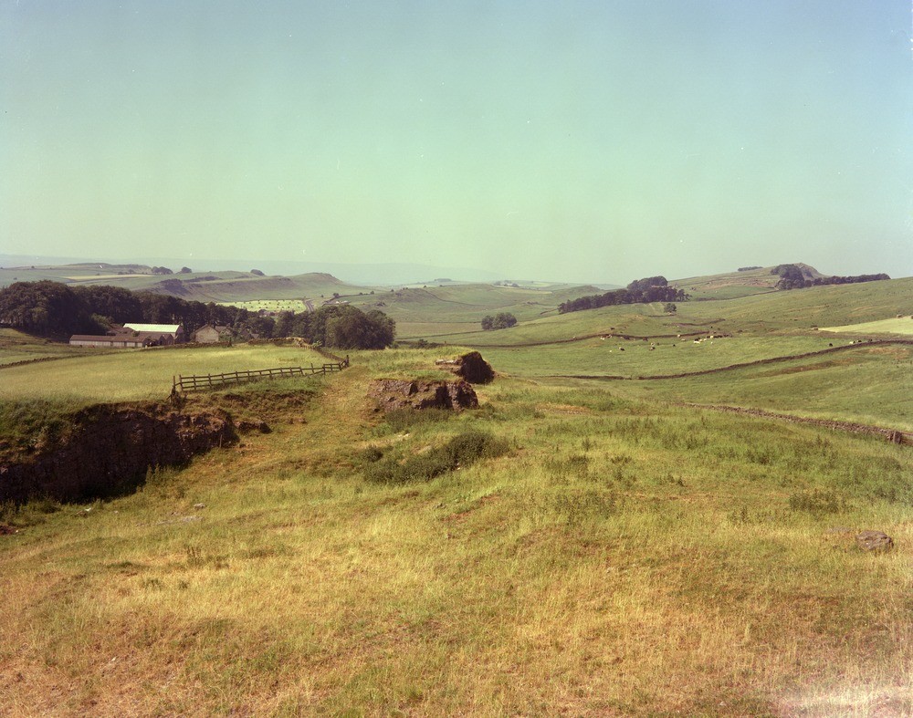
| Caption: | Moss Kennels Quarry near Housesteads. Looking SW. |
| Description: | Moss Kennels Quarry near Housesteads. Looking SW. General view south-westwards of the Roman Wall country near Housesteads showing the scarp and dip topography (Upper Liddesdale Group). Foreground is an old quarry in the Eelwell Limestone. The highest scarp to the right is formed of Whin Sill (quartz-dolerite) and known as Hootbank Crags. |
| Date taken: | Wed Jul 07 00:00:00 BST 1976 |
| Photographer: | Thornton, K.E. |
| Copyright statement: | NERC |
| X longitude/easting: | 380630 |
| Y latitude/northing: | 569370 |
| Coordinate reference system, ESPG code: | 27700 (OSGB 1936 / British National Grid) |
| Orientation: | Landscape |
| Size: | 243.29 KB; 1000 x 787 pixels; 85 x 67 mm (print at 300 DPI); 265 x 208 mm (screen at 96 DPI); |
| Average Rating: | Not yet rated |
| Categories: | Unsorted Images |
Loading...
Loading...
Reviews
There is currently no feedback