| P number: | P222159 |
|---|---|
| Old photograph number: | L01038 |
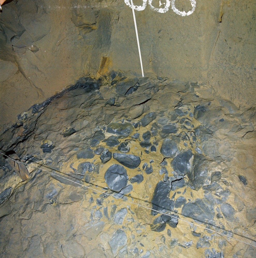
| Caption: | Blackburn Corporation main outfall sewer tunnel, 3160 ft. (963 m.) from Troutbrook Shaft. Looking upwards to roof. |
| Description: | Blackburn Corporation main outfall sewer tunnel, 3160 ft. (963 m.) from Troutbrook Shaft. Looking upwards to roof. Within third leaf of Alum Crag Grit (Namurian, R2a). Lag conglomerate of silty mudstone within sandstone. |
| Date taken: | Tue Oct 01 00:00:00 BST 1974 |
| Photographer: | Thornton, K.E. |
| Copyright statement: | NERC |
| X longitude/easting: | 363470 |
| Y latitude/northing: | 427790 |
| Coordinate reference system, ESPG code: | 27700 (OSGB 1936 / British National Grid) |
| Orientation: | Portrait |
| Size: | 363.15 KB; 995 x 1000 pixels; 84 x 85 mm (print at 300 DPI); 263 x 265 mm (screen at 96 DPI); |
| Average Rating: | Not yet rated |
| Categories: | Best of BGS Images/ Rocks and minerals under the microscope |
Loading...
Loading...
Reviews
There is currently no feedback