| P number: | P218236 |
|---|---|
| Old photograph number: | D00604 |
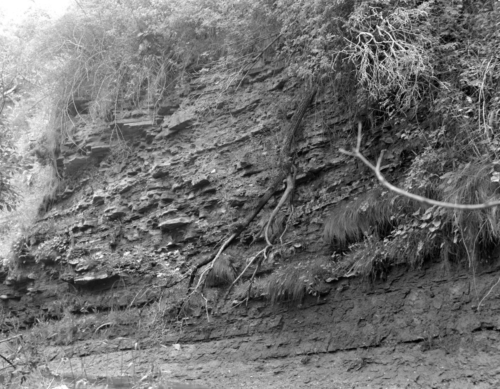
| Caption: | Burn of Tynet, 210 m. N. 5 degrees E. of Lower Mills of Tynet. |
| Description: | Burn of Tynet, 210 m. N. 5 degrees E. of Lower Mills of Tynet. Flaggy red sandstone and siltstone with calcareous nodules. Strata immediately below the Upper Fish Bed of Tynet. Middle Old Red Sandstone |
| Date taken: | Tue Jan 01 00:00:00 GMT 1963 |
| Photographer: | Fisher, W.D. |
| Copyright statement: | Crown |
| X longitude/easting: | 338850 |
| Y latitude/northing: | 862550 |
| Coordinate reference system, ESPG code: | 27700 (OSGB 1936 / British National Grid) |
| Orientation: | Landscape |
| Size: | 375.41 KB; 1000 x 778 pixels; 85 x 66 mm (print at 300 DPI); 265 x 206 mm (screen at 96 DPI); |
| Average Rating: | Not yet rated |
| Categories: | Unsorted Images |
Loading...
Loading...
Reviews
There is currently no feedback