| P number: | P218177 |
|---|---|
| Old photograph number: | D00538 |
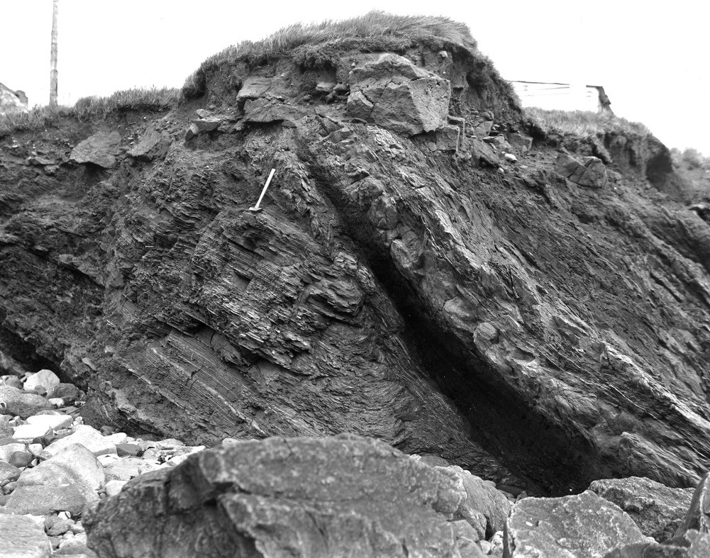
| Caption: | Near mouth of St. Monance Burn. |
| Description: | Near mouth of St. Monance Burn. Contorted strata at top of Calciferous Sandstone Measures, near St. Monance neck. |
| Date taken: | Fri Jan 01 00:00:00 GMT 1960 |
| Photographer: | Fisher, W.D. |
| Copyright statement: | Crown |
| X longitude/easting: | 352500 |
| Y latitude/northing: | 701500 |
| Coordinate reference system, ESPG code: | 27700 (OSGB 1936 / British National Grid) |
| Orientation: | Landscape |
| Size: | 331.34 KB; 1001 x 787 pixels; 85 x 67 mm (print at 300 DPI); 265 x 208 mm (screen at 96 DPI); |
| Average Rating: | Not yet rated |
| Categories: | Unsorted Images |
Loading...
Loading...
Reviews
There is currently no feedback