| P number: | P218136 |
|---|---|
| Old photograph number: | D00493 |
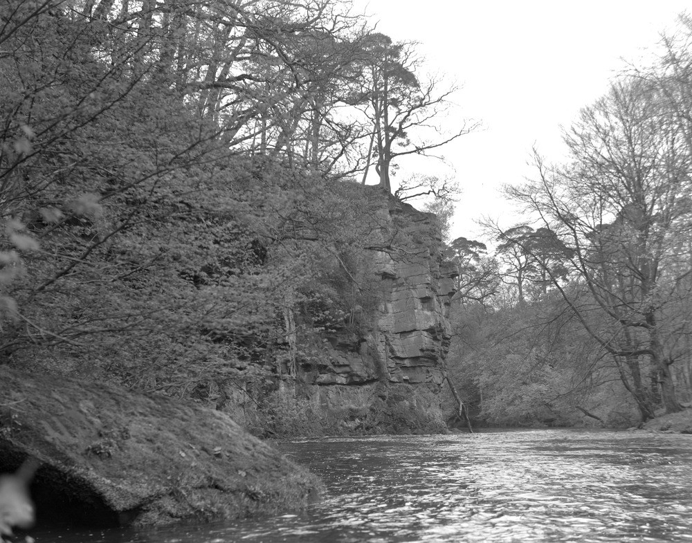
| Caption: | River Ayr, S. bank, 0.4 km. WSW of Old Howford Bridge, 2.4 km. SE of Mauchline. |
| Description: | River Ayr, S. bank, 0.4 km. WSW of Old Howford Bridge, 2.4 km. SE of Mauchline. River cliff showing Mauchline Sandstone, overlying bedded basaltic agglomerate of Carboniferous - ? Permian age. |
| Date taken: | Sun Jan 01 00:00:00 GMT 1961 |
| Photographer: | Fisher, W.D. |
| Copyright statement: | Crown |
| X longitude/easting: | 251800 |
| Y latitude/northing: | 625700 |
| Coordinate reference system, ESPG code: | 27700 (OSGB 1936 / British National Grid) |
| Orientation: | Landscape |
| Size: | 289.08 KB; 1000 x 785 pixels; 85 x 66 mm (print at 300 DPI); 265 x 208 mm (screen at 96 DPI); |
| Average Rating: | Not yet rated |
| Categories: | Unsorted Images, Geoscience subjects/ Landforms, river/ River terraces and cliffs |
Loading...
Loading...
Reviews
There is currently no feedback