| P number: | P218110 |
|---|---|
| Old photograph number: | D00464 |
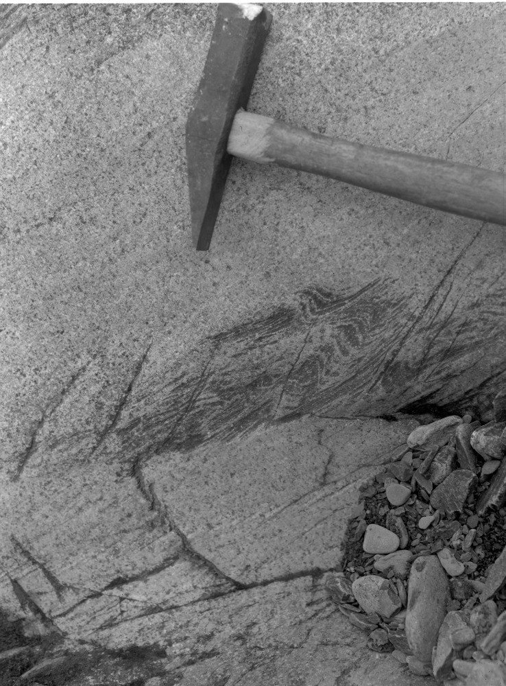
| Caption: | Allt a' Chroin, 1765 m. upstream from confluence with Allt Breac-nic. |
| Description: | Allt a' Chroin, 1765 m. upstream from confluence with Allt Breac-nic. Slump structures in Ben Ledi Grits. |
| Date taken: | Sun Jan 01 00:00:00 GMT 1961 |
| Photographer: | Fisher, W.D. |
| Copyright statement: | Crown |
| X longitude/easting: | 262500 |
| Y latitude/northing: | 714500 |
| Coordinate reference system, ESPG code: | 27700 (OSGB 1936 / British National Grid) |
| Orientation: | Portrait |
| Size: | 256.75 KB; 738 x 1000 pixels; 62 x 85 mm (print at 300 DPI); 195 x 265 mm (screen at 96 DPI); |
| Average Rating: | Not yet rated |
| Categories: | Unsorted Images, Geoscience subjects/ Sedimentary features/ Slumping |
Loading...
Loading...
Reviews
There is currently no feedback