| P number: | P217799 |
|---|---|
| Old photograph number: | D00077 |
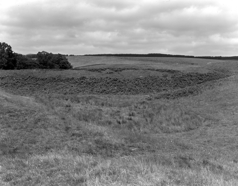
| Caption: | 0.8 km. SW of Rosehall, 4.0 km. NW of Doune. |
| Description: | 0.8 km. SW of Rosehall, 4.0 km. NW of Doune. Kettle hole'. |
| Date taken: | Tue Jan 01 00:00:00 GMT 1957 |
| Photographer: | Fisher, W.D. |
| Copyright statement: | Crown |
| X longitude/easting: | 270500 |
| Y latitude/northing: | 704500 |
| Coordinate reference system, ESPG code: | 27700 (OSGB 1936 / British National Grid) |
| Orientation: | Landscape |
| Size: | 264.51 KB; 1000 x 782 pixels; 85 x 66 mm (print at 300 DPI); 265 x 207 mm (screen at 96 DPI); |
| Average Rating: | Not yet rated |
| Categories: | Unsorted Images, Geoscience subjects/ Landforms, glaciation/ Kettle-holes |
Loading...
Loading...
Reviews
There is currently no feedback