| P number: | P217794 |
|---|---|
| Old photograph number: | D00072 |
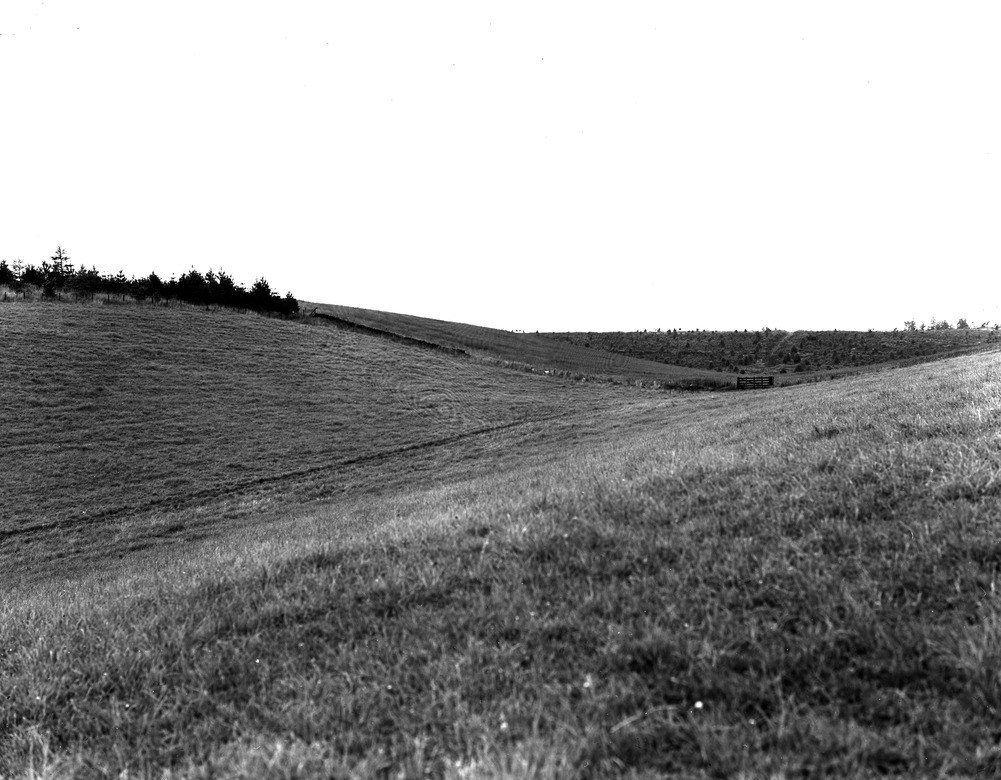
| Caption: | 320 m. S. of Lerrocks, 2.1 km. NNE of Doune. |
| Description: | 320 m. S. of Lerrocks, 2.1 km. NNE of Doune. Marginal glacial drainage channel cut through a drumlin. |
| Date taken: | Tue Jan 01 00:00:00 GMT 1957 |
| Photographer: | Fisher, W.D. |
| Copyright statement: | Crown |
| X longitude/easting: | 273500 |
| Y latitude/northing: | 703500 |
| Coordinate reference system, ESPG code: | 27700 (OSGB 1936 / British National Grid) |
| Orientation: | Landscape |
| Size: | 183.46 KB; 1001 x 780 pixels; 85 x 66 mm (print at 300 DPI); 265 x 206 mm (screen at 96 DPI); |
| Average Rating: | Not yet rated |
| Categories: | Unsorted Images |
Loading...
Loading...
Reviews
There is currently no feedback