| P number: | P001286 |
|---|---|
| Old photograph number: | D05496 |
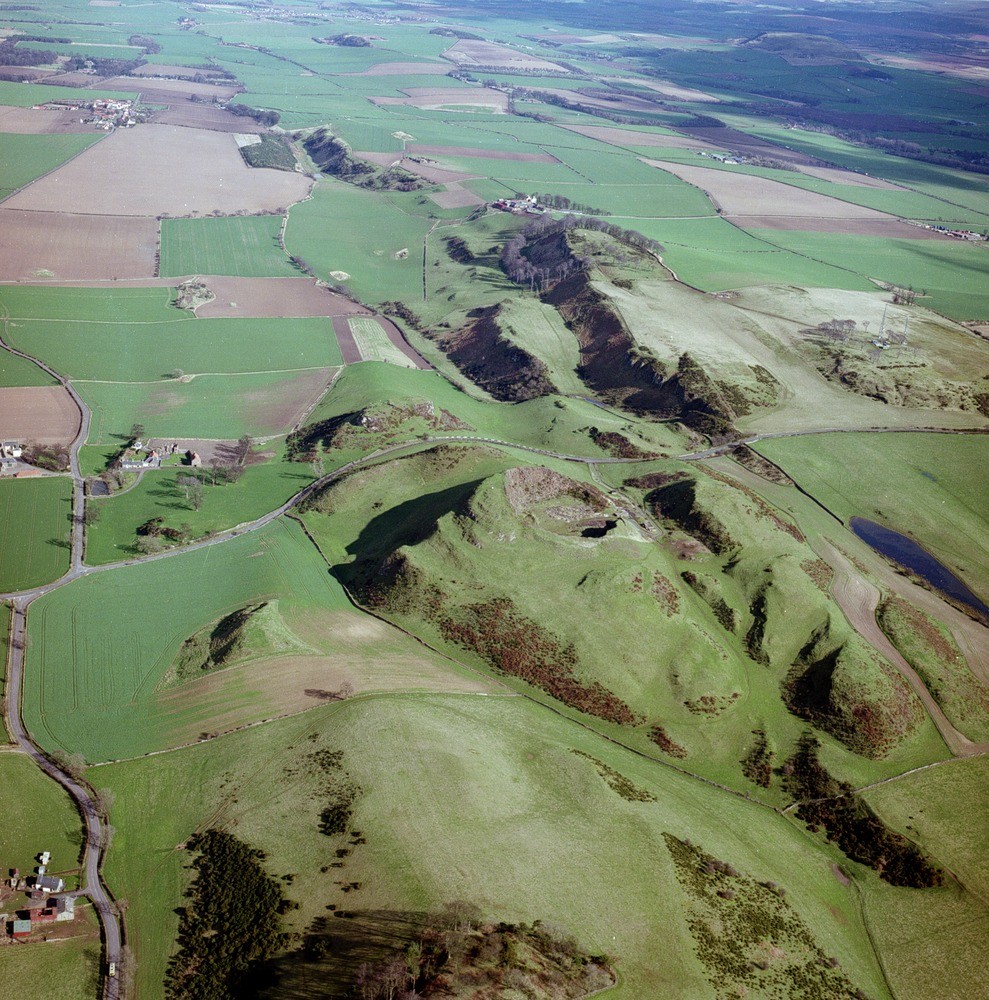
| Caption: | Oblique aerial view of Skid Hill, Garleton Hills, Athelstaneford, and Traprain Law, looking from west. |
| Description: | Lower basaltic lavas form scarps in top centre. The features have been increased by the effects of glaciation and meltwater channels. The circular feature in the centre is a disused quarry. The lower arable ground is covered by glacial till and other superficial deposits. The phonolite laccolith of Traprain Law is in the top right. The Garleton Hills Volcanic Formation was approximately contemporaneous with the eruption of Arthur's Seat volcano in Edinburgh. The lavas were erupted mainly under subaerial conditions, though bedded tuffs and agglomerates show some evidence of deposition in shallow water. Very fine trap featuring of south-dipping trachyte lavas of the Lower Carboniferous Garleton Hills Volcanic Formation within the Calciferous Sandstone Measures. |
| Date taken: | Wed May 01 00:00:00 BST 1996 |
| Photographer: | Bain, T.S. |
| Copyright statement: | NERC |
| Acknowledgment: | This image was digitized with grant-in-aid from SCRAN the Scottish Cultural Resources Access Network |
| X longitude/easting: | 350500 |
| Y latitude/northing: | 676000 |
| Coordinate reference system, ESPG code: | 27700 (OSGB 1936 / British National Grid) |
| Orientation: | Portrait |
| Size: | 377.30 KB; 989 x 1000 pixels; 84 x 85 mm (print at 300 DPI); 262 x 265 mm (screen at 96 DPI); |
| Average Rating: | Not yet rated |
| Categories: | Best of BGS Images/ Geological structures |
Loading...
Loading...
Reviews
There is currently no feedback