| P number: | P217665 |
|---|---|
| Old photograph number: | C04167 |
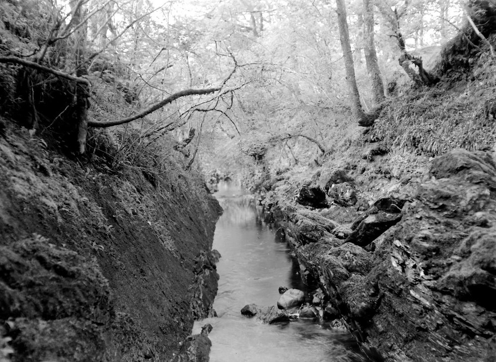
| Caption: | Allt Dogha, 183 m. due N. of Annat Farm. |
| Description: | Allt Dogha, 183 m. due N. of Annat Farm. View, looking south-south-west showing straight course of fault-guided stream. |
| Date taken: | Fri Jan 01 00:00:00 GMT 1954 |
| Photographer: | Fisher, W.D. |
| Copyright statement: | Crown |
| X longitude/easting: | 208500 |
| Y latitude/northing: | 777500 |
| Coordinate reference system, ESPG code: | 27700 (OSGB 1936 / British National Grid) |
| Orientation: | Landscape |
| Size: | 250.44 KB; 999 x 729 pixels; 85 x 62 mm (print at 300 DPI); 264 x 193 mm (screen at 96 DPI); |
| Average Rating: | Not yet rated |
| Categories: | Unsorted Images, Geoscience subjects/ Landforms, river/ Valleys controlled by faults and shatter belts |
Loading...
Loading...
Reviews
There is currently no feedback