| P number: | P217616 |
|---|---|
| Old photograph number: | C04108 |
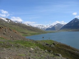
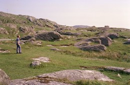
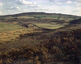
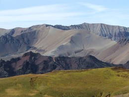
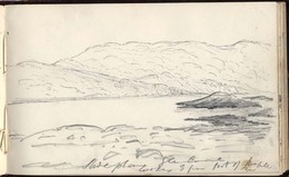
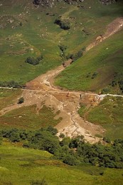
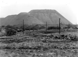
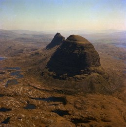
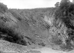
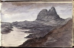
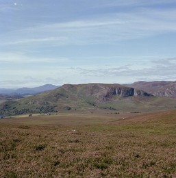
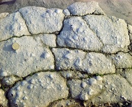
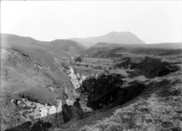
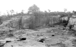
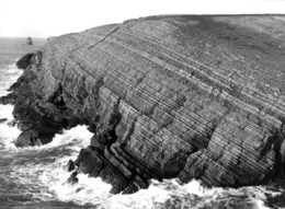
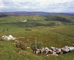
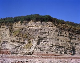
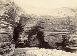
| Caption: | 91 m. SE of junction of road to Drumfern and Kinlocheil-Ardgour road. |
| Description: | 91 m. SE of junction of road to Drumfern and Kinlocheil-Ardgour road. Alluvial and raised beach flat at head of Loch Eil. Hill in background shows pronounced featuring due to easterly-dipping joint planes in Moine psammitic granulites. |
| Date taken: | Fri Jan 01 00:00:00 GMT 1954 |
| Photographer: | Fisher, W.D. |
| Copyright statement: | Crown |
| X longitude/easting: | 196500 |
| Y latitude/northing: | 778500 |
| Coordinate reference system, ESPG code: | 27700 (OSGB 1936 / British National Grid) |
| Orientation: | Landscape |
| Size: | 159.94 KB; 1000 x 727 pixels; 85 x 62 mm (print at 300 DPI); 265 x 192 mm (screen at 96 DPI); |
| Average Rating: | Not yet rated |
| Categories: | Unsorted Images |
Loading...
Loading...
Reviews
There is currently no feedback