| P number: | P001204 |
|---|---|
| Old photograph number: | D05080 |
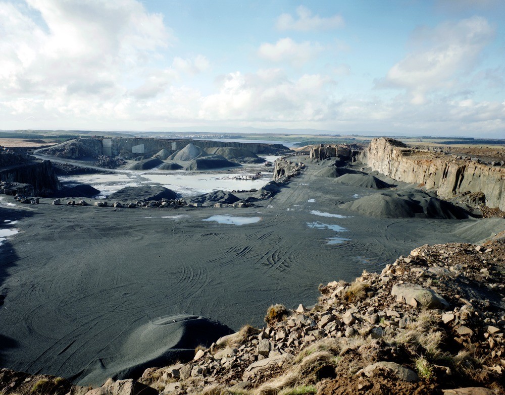
| Caption: | Cairneyhill Quarry, Forrestfield, Caldercruix. Strathclyde. |
| Description: | The prominent joint plane in the face on the right parallels a fault which runs north-westwards through the dead ground obscured beyond the face, towards the cleft visible in the distance. The buildings in shadow at the far side of the quarry house the primary and secondary crushing plant. Working quarry operated by Tilcon Ltd. in a quartz-dolerite sill belonging to the Midland Valley Sill Complex. The sill complex extends as far as the hills on the left facing Caldercruix which is situated immediately west of Hillend Reservoir. |
| Date taken: | Sun Jan 01 00:00:00 GMT 1995 |
| Photographer: | McTaggart, F.I. |
| Copyright statement: | NERC |
| Acknowledgment: | This image was digitized with grant-in-aid from SCRAN the Scottish Cultural Resources Access Network |
| X longitude/easting: | 285600 |
| Y latitude/northing: | 666400 |
| Coordinate reference system, ESPG code: | 27700 (OSGB 1936 / British National Grid) |
| Orientation: | Landscape |
| Size: | 262.77 KB; 1000 x 783 pixels; 85 x 66 mm (print at 300 DPI); 265 x 207 mm (screen at 96 DPI); |
| Average Rating: | Not yet rated |
| Categories: | Best of BGS Images/ Geological structures |
Loading...
Loading...
Reviews
There is currently no feedback