| P number: | P216858 |
|---|---|
| Old photograph number: | C03086 |
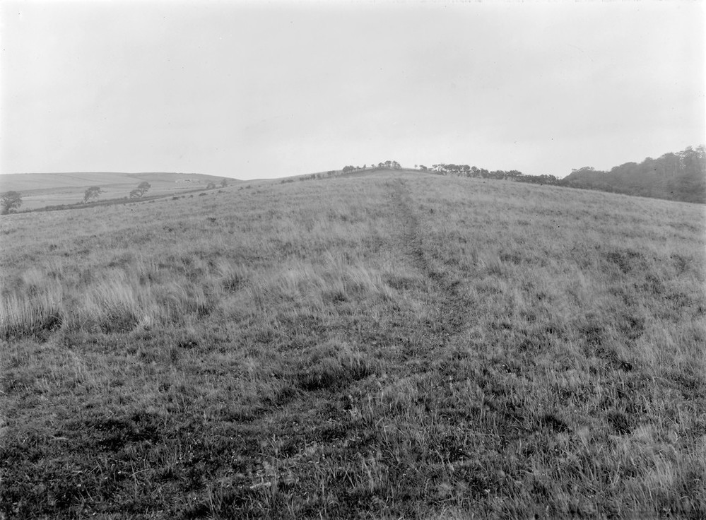
| Caption: | Cairn Hill 2.8 km. ENE of Turnberry. |
| Description: | Cairn Hill 2.8 km. ENE of Turnberry. Drumlin of boulder clay, looking east along the longitudinal axis. |
| Date taken: | Fri Jan 01 00:00:00 GMT 1926 |
| Photographer: | Manson, W. |
| Copyright statement: | Crown |
| X longitude/easting: | 222500 |
| Y latitude/northing: | 607500 |
| Coordinate reference system, ESPG code: | 27700 (OSGB 1936 / British National Grid) |
| Orientation: | Landscape |
| Size: | 196.64 KB; 999 x 736 pixels; 85 x 62 mm (print at 300 DPI); 264 x 195 mm (screen at 96 DPI); |
| Average Rating: | Not yet rated |
| Categories: | Unsorted Images, Geoscience subjects/ Landforms, glaciation/ Drumlins |
Loading...
Loading...
Reviews
There is currently no feedback