| P number: | P216781 |
|---|---|
| Old photograph number: | C02969 |
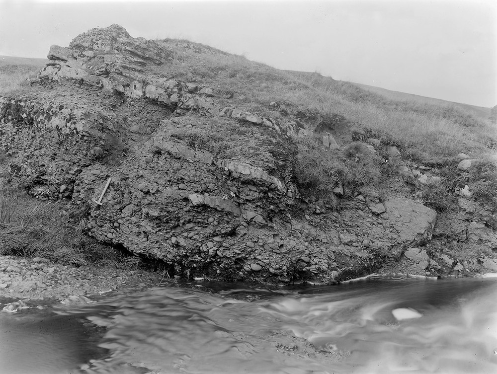
| Caption: | Pocksmuir Burn, above Cumberhead Farm. |
| Description: | Pocksmuir Burn, above Cumberhead Farm. Greywacke Conglomerate at the base of the Lower Old Red Sandstone. |
| Date taken: | Sat Jan 01 00:00:00 GMT 1921 |
| Photographer: | Manson, W. |
| Copyright statement: | Crown |
| X longitude/easting: | 277500 |
| Y latitude/northing: | 634500 |
| Coordinate reference system, ESPG code: | 27700 (OSGB 1936 / British National Grid) |
| Orientation: | Landscape |
| Size: | 257.90 KB; 1000 x 753 pixels; 85 x 64 mm (print at 300 DPI); 265 x 199 mm (screen at 96 DPI); |
| Average Rating: | Not yet rated |
| Categories: | Unsorted Images, Geoscience subjects/ Stratigraphical |
Loading...
Loading...
Reviews
There is currently no feedback