| P number: | P216713 |
|---|---|
| Old photograph number: | C02863 |
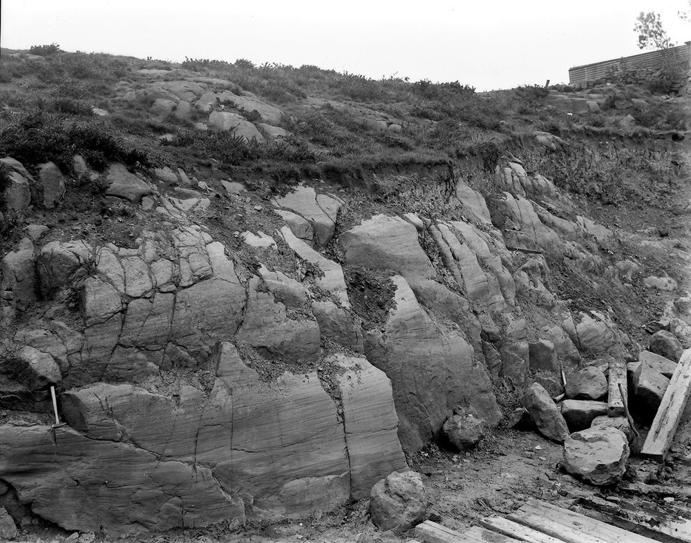
| Caption: | Crooks (or Crinks) Quarry, S. side of Inverkeithing Bay and 1097 m. S. of Inverkeithing. |
| Description: | Crooks (or Crinks) Quarry, S. side of Inverkeithing Bay and 1097 m. S. of Inverkeithing. Glacial striae, on north side of an east-and-west glaciated channel in dolerite. (Temporary exposure.) |
| Date taken: | Sat Jan 01 00:00:00 GMT 1921 |
| Photographer: | Manson, W. |
| Copyright statement: | Crown |
| X longitude/easting: | 313500 |
| Y latitude/northing: | 681500 |
| Coordinate reference system, ESPG code: | 27700 (OSGB 1936 / British National Grid) |
| Orientation: | Landscape |
| Size: | 286.69 KB; 1000 x 786 pixels; 85 x 67 mm (print at 300 DPI); 265 x 208 mm (screen at 96 DPI); |
| Average Rating: | Not yet rated |
| Categories: | Unsorted Images, Geoscience subjects/ Landforms, glaciation/ Glaciated surfaces, Geoscience subjects/ Landforms, glaciation/ Glacial striae |
Loading...
Loading...
Reviews
There is currently no feedback