| P number: | P216565 |
|---|---|
| Old photograph number: | C02684 |
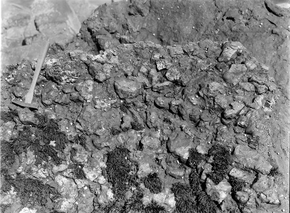
| Caption: | Shore at Barr Shomhairle, 1.6 km. S. of Loch Don, SE Mull. |
| Description: | Shore at Barr Shomhairle, 1.6 km. S. of Loch Don, SE Mull. Basal Tertiary flint-conglomerate. |
| Date taken: | Thu Jan 01 00:00:00 GMT 1920 |
| Photographer: | Lunn, R. |
| Copyright statement: | Crown |
| X longitude/easting: | 174500 |
| Y latitude/northing: | 730500 |
| Coordinate reference system, ESPG code: | 27700 (OSGB 1936 / British National Grid) |
| Orientation: | Landscape |
| Size: | 320.43 KB; 1000 x 734 pixels; 85 x 62 mm (print at 300 DPI); 265 x 194 mm (screen at 96 DPI); |
| Average Rating: | Not yet rated |
| Categories: | Unsorted Images, Geoscience subjects/ Stratigraphical, Geoscience subjects/ Rocks, sedimentary/ Conglomerates and breccias |
Loading...
Loading...
Reviews
There is currently no feedback