| P number: | P001160 |
|---|---|
| Old photograph number: | D04484 |
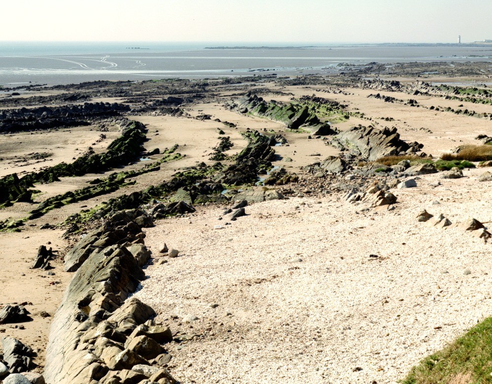
| Caption: | Taken from 200 m. east-south-east of Powillimount Farm, looking south-west towards the lighthouse at Southerness. The folded rock in the foreground is the Carboniferous Powillimount Sandstone Formation. |
| Description: | Taken from 200 m. east-south-east of Powillimount Farm, looking south-west towards the lighthouse at Southerness. The folded rock in the foreground is the Carboniferous Powillimount Sandstone Formation. Thick-bedded calcareous sandstone, thin limestone and dark grey mudstone folded about north-east-plunging axes. A small normal fault is present trending east-west in the middle of the plate. |
| Date taken: | Tue May 01 00:00:00 BST 1990 |
| Photographer: | McTaggart, F.I. |
| Copyright statement: | NERC |
| Acknowledgment: | This image was digitized with grant-in-aid from SCRAN the Scottish Cultural Resources Access Network |
| X longitude/easting: | 299040 |
| Y latitude/northing: | 556470 |
| Coordinate reference system, ESPG code: | 27700 (OSGB 1936 / British National Grid) |
| Orientation: | Landscape |
| Size: | 360.40 KB; 1000 x 779 pixels; 85 x 66 mm (print at 300 DPI); 265 x 206 mm (screen at 96 DPI); |
| Average Rating: | Not yet rated |
| Categories: | Unsorted Images |
Loading...
Loading...
Reviews
There is currently no feedback