| P number: | P216494 |
|---|---|
| Old photograph number: | C02603 |
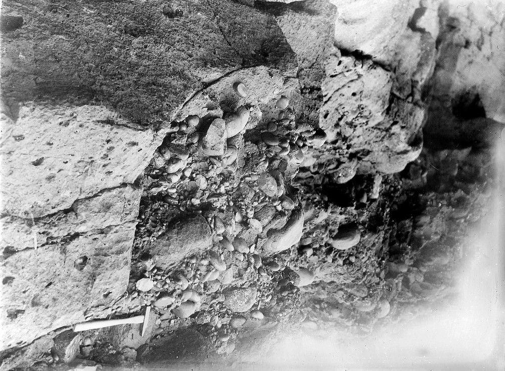
| Caption: | Crawton, 6.4 km. S. of Stonehaven. |
| Description: | Crawton, 6.4 km. S. of Stonehaven. Eroded surface of Crawton Basalt showing coarse conglomerate of Lower Old Red Sandstone age in pot-hole. |
| Date taken: | Thu Jan 01 00:00:00 GMT 1920 |
| Photographer: | Lunn, R. |
| Copyright statement: | Crown |
| X longitude/easting: | 388500 |
| Y latitude/northing: | 779500 |
| Coordinate reference system, ESPG code: | 27700 (OSGB 1936 / British National Grid) |
| Orientation: | Landscape |
| Size: | 278.21 KB; 999 x 734 pixels; 85 x 62 mm (print at 300 DPI); 264 x 194 mm (screen at 96 DPI); |
| Average Rating: | Not yet rated |
| Categories: | Unsorted Images, Geoscience subjects/ Stratigraphical |
Loading...
Loading...
Reviews
There is currently no feedback