| P number: | P216422 |
|---|---|
| Old photograph number: | C02517 |
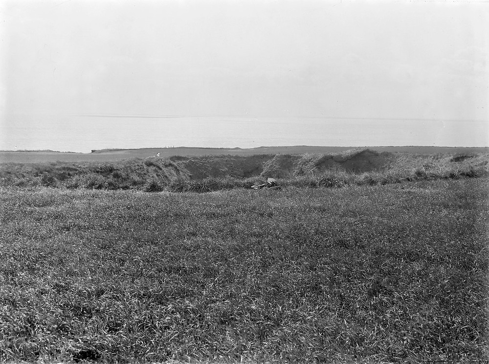
| Caption: | The Gaylet Pot, 4.0 km. NE of Arbroath. |
| Description: | The Gaylet Pot, 4.0 km. NE of Arbroath. A 'gloup' - the collapsed roof of a cave drilled along joints in the Lower Old Red Sandstone opening at foot of sea cliff, a distance of over 137 m. |
| Date taken: | Wed Jan 01 00:00:00 GMT 1919 |
| Photographer: | Lunn, R. |
| Copyright statement: | Crown |
| X longitude/easting: | 367500 |
| Y latitude/northing: | 743500 |
| Coordinate reference system, ESPG code: | 27700 (OSGB 1936 / British National Grid) |
| Orientation: | Landscape |
| Size: | 263.77 KB; 1000 x 744 pixels; 85 x 63 mm (print at 300 DPI); 265 x 197 mm (screen at 96 DPI); |
| Average Rating: | Not yet rated |
| Categories: | Unsorted Images, Geoscience subjects/ Landforms, marine/ Influence of structure, composition, faults, joints and dip |
Loading...
Loading...
Reviews
There is currently no feedback