| P number: | P216212 |
|---|---|
| Old photograph number: | C02193 |
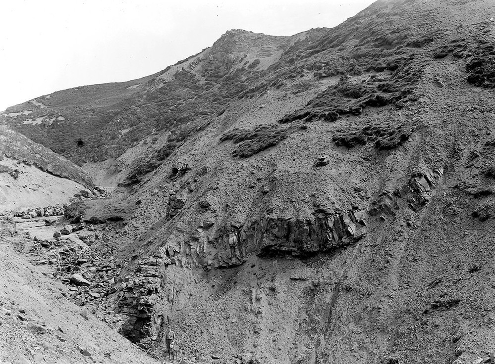
| Caption: | Allt Fearns, 4.2 km. E. of Raasay House, Island of Raasay. |
| Description: | Allt Fearns, 4.2 km. E. of Raasay House, Island of Raasay. Section in the upper portion of the Pabba Shales (Lower Lias). |
| Date taken: | Wed Jan 01 00:00:00 GMT 1919 |
| Photographer: | Lunn, R. |
| Copyright statement: | Crown |
| X longitude/easting: | 158500 |
| Y latitude/northing: | 836500 |
| Coordinate reference system, ESPG code: | 27700 (OSGB 1936 / British National Grid) |
| Orientation: | Landscape |
| Size: | 352.35 KB; 999 x 736 pixels; 85 x 62 mm (print at 300 DPI); 264 x 195 mm (screen at 96 DPI); |
| Average Rating: | Not yet rated |
| Categories: | Unsorted Images, Geoscience subjects/ Stratigraphical |
Loading...
Loading...
Reviews
There is currently no feedback