| P number: | P001119 |
|---|---|
| Old photograph number: | D03695 |
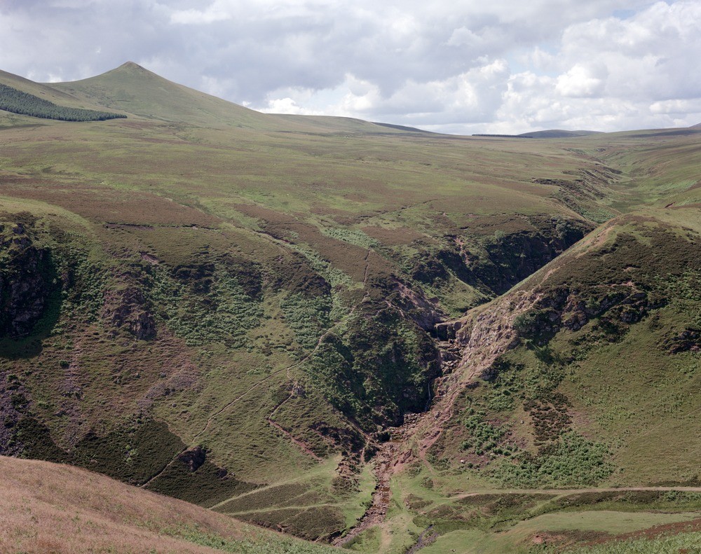
| Caption: | View from the south slope of Black Hill, looking to waterfall on south side of a glacial drainage channel, Pentland Hills. Behind is a drift-covered plain, with West Kip on left. |
| Description: | View from the south slope of Black Hill, looking to waterfall on south side of a glacial drainage channel, Pentland Hills. Behind is a drift-covered plain, with West Kip on left. Looking across the Bavelaw-Loganlea glacial drainage channel towards the waterfall in Lower Old Red Sandstone conglomerate and sandstone with dykes. Behind is flat ground covered in boulder clay. On the far left is West Kip, composed of Lower Old Red Sandstone basalt lava. |
| Date taken: | Tue Jul 01 00:00:00 BST 1986 |
| Photographer: | Bain, T.S. |
| Copyright statement: | NERC |
| Acknowledgment: | This image was digitized with grant-in-aid from SCRAN the Scottish Cultural Resources Access Network |
| X longitude/easting: | 318500 |
| Y latitude/northing: | 662100 |
| Coordinate reference system, ESPG code: | 27700 (OSGB 1936 / British National Grid) |
| Orientation: | Landscape |
| Size: | 319.87 KB; 1000 x 791 pixels; 85 x 67 mm (print at 300 DPI); 265 x 209 mm (screen at 96 DPI); |
| Average Rating: | Not yet rated |
| Categories: | Unsorted Images |
Loading...
Loading...
Reviews
There is currently no feedback