| P number: | P216054 |
|---|---|
| Old photograph number: | C01921 |
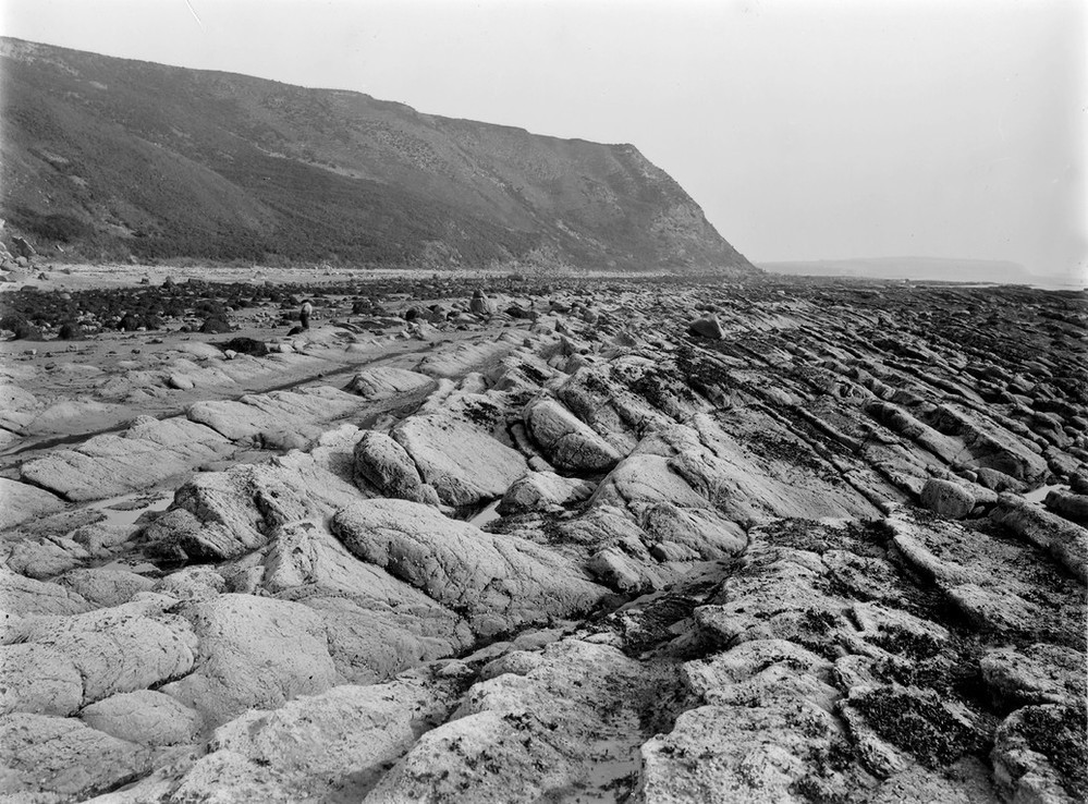
| Caption: | Port an Righ, 4.8 km. SSE of Hill of Fearn. |
| Description: | Port an Righ, 4.8 km. SSE of Hill of Fearn. Platform of marine denudation. Jurassic sandstones and shales (I), faulted down against Middle Old Red Sandstone beds (II), the dip of the Jurassic rocks being away from the fault. The cliff has a thick covering of boulder clay (No. C1920 looking south; No. C1921 looking north). |
| Date taken: | Wed Jan 01 00:00:00 GMT 1913 |
| Photographer: | Lunn, R. |
| Copyright statement: | Crown |
| X longitude/easting: | 285500 |
| Y latitude/northing: | 873500 |
| Coordinate reference system, ESPG code: | 27700 (OSGB 1936 / British National Grid) |
| Orientation: | Landscape |
| Size: | 266.00 KB; 999 x 738 pixels; 85 x 62 mm (print at 300 DPI); 264 x 195 mm (screen at 96 DPI); |
| Average Rating: | Not yet rated |
| Categories: | Unsorted Images, Geoscience subjects/ Stratigraphical, Geoscience subjects/ Landforms, marine/ Wave-cut platforms, reefs and foreshores |
Loading...
Loading...
Reviews
There is currently no feedback