| P number: | P216053 |
|---|---|
| Old photograph number: | C01917 |
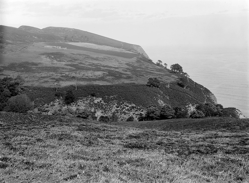
| Caption: | 7.0 km. NE of Cromarty. |
| Description: | 7.0 km. NE of Cromarty. Surface of area of boulder clay filling pre-glacial ravine of the Allt nan Damh Burn. |
| Date taken: | Wed Jan 01 00:00:00 GMT 1913 |
| Photographer: | Lunn, R. |
| Copyright statement: | Crown |
| X longitude/easting: | 284500 |
| Y latitude/northing: | 871500 |
| Coordinate reference system, ESPG code: | 27700 (OSGB 1936 / British National Grid) |
| Orientation: | Landscape |
| Size: | 283.51 KB; 1000 x 736 pixels; 85 x 62 mm (print at 300 DPI); 265 x 195 mm (screen at 96 DPI); |
| Average Rating: | Not yet rated |
| Categories: | Unsorted Images |
Loading...
Loading...
Reviews
There is currently no feedback