| P number: | P216013 |
|---|---|
| Old photograph number: | C01842 |
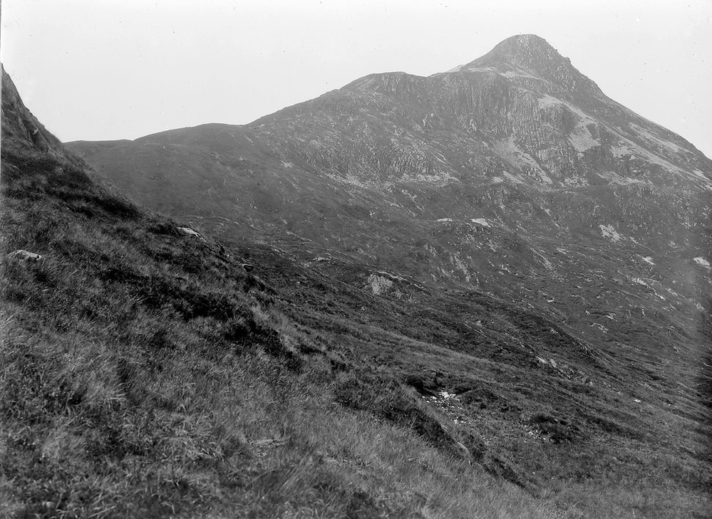
| Caption: | 6.4 km. W. of Loch Treig. |
| Description: | 6.4 km. W. of Loch Treig. Folding in quartzites round Stob Ban. The glaciated col indicates that the ice more than filled the main valleys and overflowed the main divides. |
| Date taken: | Sat Jan 01 00:00:00 GMT 1910 |
| Photographer: | Lunn, R. |
| Copyright statement: | Crown |
| X longitude/easting: | 226500 |
| Y latitude/northing: | 772500 |
| Coordinate reference system, ESPG code: | 27700 (OSGB 1936 / British National Grid) |
| Orientation: | Landscape |
| Size: | 244.43 KB; 999 x 729 pixels; 85 x 62 mm (print at 300 DPI); 264 x 193 mm (screen at 96 DPI); |
| Average Rating: | Not yet rated |
| Categories: | Unsorted Images |
Loading...
Loading...
Reviews
There is currently no feedback