| P number: | P215472 |
|---|---|
| Old photograph number: | C01009 |
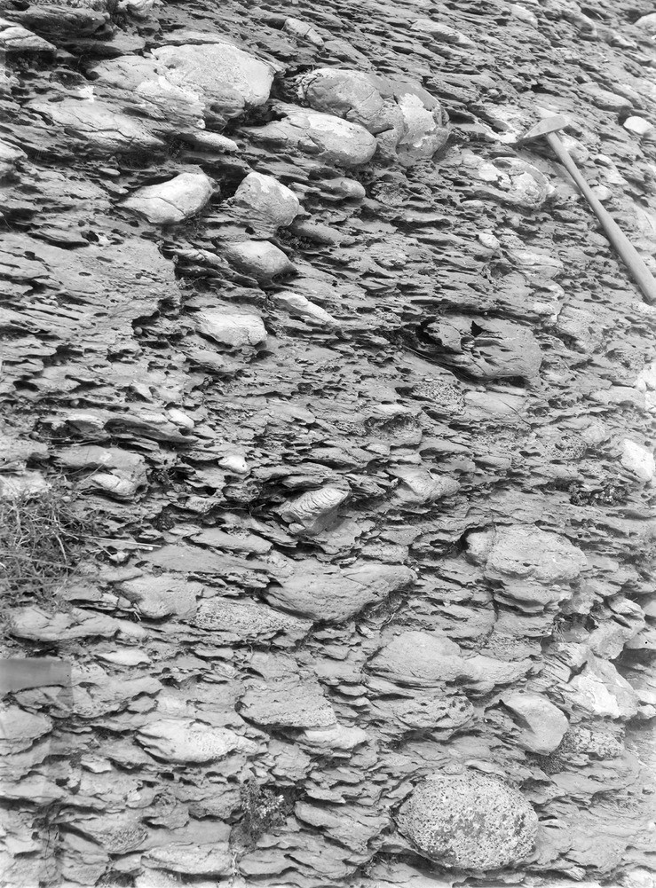
| Caption: | Near Point of Rubha na Cille (E. side) 1.6 km. or so SSW of Keillbeg, 9.6 km. SSW of Tayvallich. |
| Description: | Near Point of Rubha na Cille (E. side) 1.6 km. or so SSW of Keillbeg, 9.6 km. SSW of Tayvallich. Boulder bed' with boulders of granitic rock (Nordmarkite), epidiorite, quartzite and limestone. |
| Date taken: | Fri Jan 01 00:00:00 GMT 1904 |
| Photographer: | Lunn, R. |
| Copyright statement: | Crown |
| X longitude/easting: | 168500 |
| Y latitude/northing: | 679500 |
| Coordinate reference system, ESPG code: | 27700 (OSGB 1936 / British National Grid) |
| Orientation: | Portrait |
| Size: | 368.81 KB; 739 x 1001 pixels; 63 x 85 mm (print at 300 DPI); 196 x 265 mm (screen at 96 DPI); |
| Average Rating: | Not yet rated |
| Categories: | Unsorted Images |
Loading...
Loading...
Reviews
There is currently no feedback