| P number: | P215466 |
|---|---|
| Old photograph number: | C01003 |
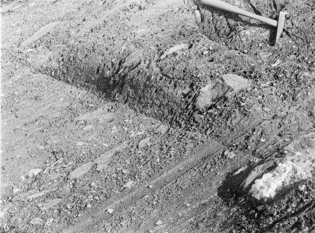
| Caption: | NW shore of Loch na Cille, 0.8 km. SSW of Keillbeg, 8.8 km. SSW of Tayvallich. |
| Description: | NW shore of Loch na Cille, 0.8 km. SSW of Keillbeg, 8.8 km. SSW of Tayvallich. Deformed 'boulder bed' with calcareous matrix. Banding due to original bedding. |
| Date taken: | Fri Jan 01 00:00:00 GMT 1904 |
| Photographer: | Lunn, R. |
| Copyright statement: | Crown |
| X longitude/easting: | 169500 |
| Y latitude/northing: | 680500 |
| Coordinate reference system, ESPG code: | 27700 (OSGB 1936 / British National Grid) |
| Orientation: | Landscape |
| Size: | 424.26 KB; 1001 x 740 pixels; 85 x 63 mm (print at 300 DPI); 265 x 196 mm (screen at 96 DPI); |
| Average Rating: | Not yet rated |
| Categories: | Unsorted Images |
Loading...
Loading...
Reviews
There is currently no feedback