| P number: | P215437 |
|---|---|
| Old photograph number: | C00974 |
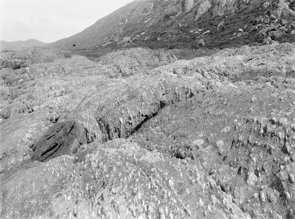
| Caption: | 1.8 km. SSW of North Ardbeg, 5.9 km. SSW of Tayvallich. |
| Description: | 1.8 km. SSW of North Ardbeg, 5.9 km. SSW of Tayvallich. Shore section of agglomerate and tuff lineated by movement. Large bomb shown at (I). |
| Date taken: | Fri Jan 01 00:00:00 GMT 1904 |
| Photographer: | Lunn, R. |
| Copyright statement: | Crown |
| X longitude/easting: | 170500 |
| Y latitude/northing: | 682500 |
| Coordinate reference system, ESPG code: | 27700 (OSGB 1936 / British National Grid) |
| Orientation: | Landscape |
| Size: | 336.90 KB; 1000 x 741 pixels; 85 x 63 mm (print at 300 DPI); 265 x 196 mm (screen at 96 DPI); |
| Average Rating: | Not yet rated |
| Categories: | Unsorted Images, Geoscience subjects/ Igneous features/ Volcanic agglomerates and breccias, tuffs and ashes |
Loading...
Loading...
Reviews
There is currently no feedback