| P number: | P215367 |
|---|---|
| Old photograph number: | C00899 |
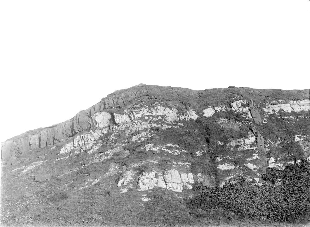
| Caption: | Shore cliff, 3.2 km. WSW of West Machrihanish, 9.6 km. W. of Campbeltown. |
| Description: | Shore cliff, 3.2 km. WSW of West Machrihanish, 9.6 km. W. of Campbeltown. Basalt dyke, 2.43 m. broad, cutting through Upper Old Red Sandstone and cornstone, and overlapped above by basic lava flow. |
| Date taken: | Mon Jan 01 00:00:00 GMT 1900 |
| Photographer: | Lunn, R. |
| Copyright statement: | Crown |
| X longitude/easting: | 161500 |
| Y latitude/northing: | 619500 |
| Coordinate reference system, ESPG code: | 27700 (OSGB 1936 / British National Grid) |
| Orientation: | Landscape |
| Size: | 215.14 KB; 1001 x 733 pixels; 85 x 62 mm (print at 300 DPI); 265 x 194 mm (screen at 96 DPI); |
| Average Rating: | Not yet rated |
| Categories: | Unsorted Images, Geoscience subjects/ Igneous features/ Dykes |
Loading...
Loading...
Reviews
There is currently no feedback