| P number: | P215366 |
|---|---|
| Old photograph number: | C00898 |
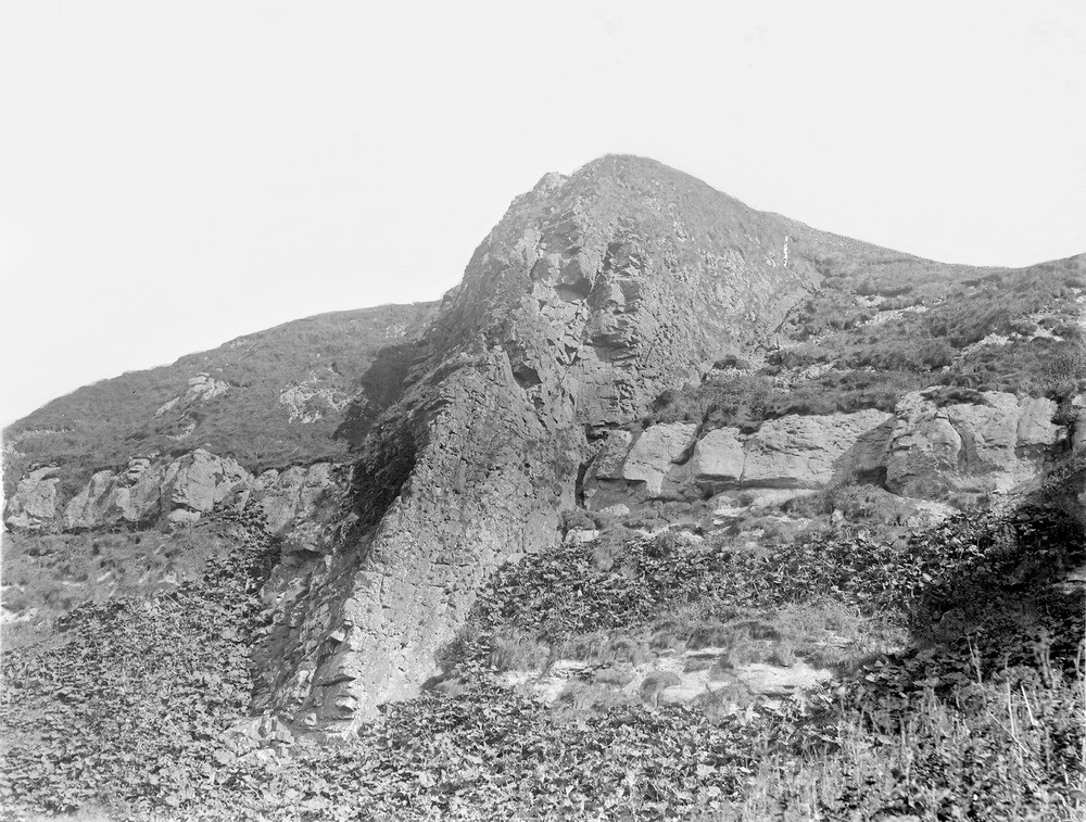
| Caption: | Shore cliff, 3.2 km. WSW of West Machrihanish, 9.6 km. W. of Campbeltown. |
| Description: | Shore cliff, 3.2 km. WSW of West Machrihanish, 9.6 km. W. of Campbeltown. Basalt dyke, 7.62 m. broad, cutting Upper Old Red Sandstone and cornstone. |
| Date taken: | Mon Jan 01 00:00:00 GMT 1900 |
| Photographer: | Lunn, R. |
| Copyright statement: | Crown |
| X longitude/easting: | 161500 |
| Y latitude/northing: | 619500 |
| Coordinate reference system, ESPG code: | 27700 (OSGB 1936 / British National Grid) |
| Orientation: | Landscape |
| Size: | 278.29 KB; 1000 x 757 pixels; 85 x 64 mm (print at 300 DPI); 265 x 200 mm (screen at 96 DPI); |
| Average Rating: | Not yet rated |
| Categories: | Unsorted Images, Geoscience subjects/ Igneous features/ Dykes |
Loading...
Loading...
Reviews
There is currently no feedback