| P number: | P215221 |
|---|---|
| Old photograph number: | C00727 |
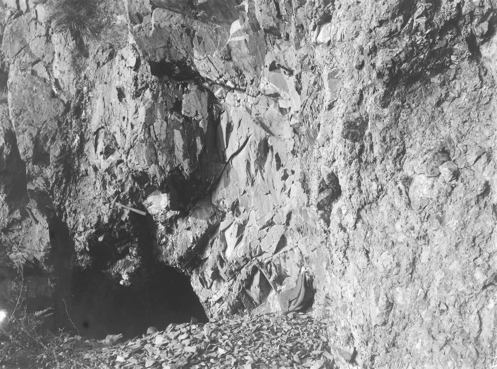
| Caption: | Cave, 0.5 km. N. of Currarie Port, 4.8 km. S. of Ballantrae. |
| Description: | Cave, 0.5 km. N. of Currarie Port, 4.8 km. S. of Ballantrae. Vertical dark shale, containing Glenkiln graptolites, intercalated in volcanic agglomerate of Upper Llandeilo age. |
| Date taken: | Fri Jan 01 00:00:00 GMT 1897 |
| Photographer: | Lunn, R. |
| Copyright statement: | Crown |
| X longitude/easting: | 205500 |
| Y latitude/northing: | 577500 |
| Coordinate reference system, ESPG code: | 27700 (OSGB 1936 / British National Grid) |
| Orientation: | Landscape |
| Size: | 334.06 KB; 1001 x 743 pixels; 85 x 63 mm (print at 300 DPI); 265 x 197 mm (screen at 96 DPI); |
| Average Rating: | Not yet rated |
| Categories: | Unsorted Images, Geoscience subjects/ Stratigraphical, Geoscience subjects/ Igneous features/ Pillow lavas |
Loading...
Loading...
Reviews
There is currently no feedback