| P number: | P215081 |
|---|---|
| Old photograph number: | C00571 |
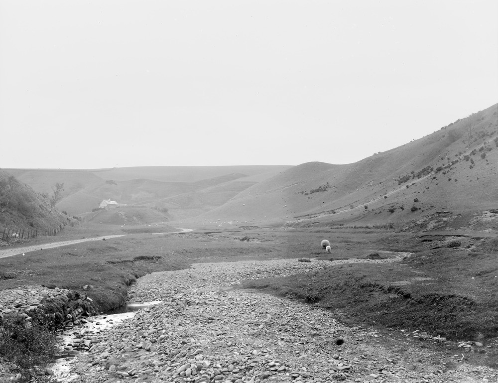
| Caption: | 1.6 km. SE of Elmscleugh, 8.0 km. SSE of Dunbar. |
| Description: | 1.6 km. SE of Elmscleugh, 8.0 km. SSE of Dunbar. A valley with reverse drainage due to corram formation. |
| Date taken: | Fri Jan 01 00:00:00 GMT 1904 |
| Photographer: | Lunn, R. |
| Copyright statement: | Crown |
| X longitude/easting: | 370500 |
| Y latitude/northing: | 671500 |
| Coordinate reference system, ESPG code: | 27700 (OSGB 1936 / British National Grid) |
| Orientation: | Landscape |
| Size: | 210.41 KB; 1000 x 769 pixels; 85 x 65 mm (print at 300 DPI); 265 x 203 mm (screen at 96 DPI); |
| Average Rating: | Not yet rated |
| Categories: | Unsorted Images, Geoscience subjects/ Landforms, river/ River capture and diverted drainage |
Loading...
Loading...
Reviews
There is currently no feedback