| P number: | P001026 |
|---|---|
| Old photograph number: | D03251 |
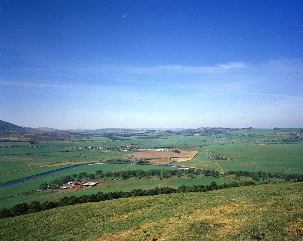
| Caption: | Valley of the River Clyde. Lanarkshire. |
| Description: | At this point the river takes a marked change in direction of flow from westerly to northerly. Till with thin patchy deposits of glacial sand and gravel occupies the western valley side, glacial deposits which are traversed by the northerly orientated esker form the eastern valley side. View across the valley of the River Clyde towards the village of Thankerton. Taken from Quothquan Law summit. The Thankerton esker forms a marked tree-covered ridge running along the lower slopes of Quothquan Law. Looking west. |
| Date taken: | Tue Jan 01 00:00:00 GMT 1980 |
| Photographer: | Christie, A. |
| Copyright statement: | NERC |
| Acknowledgment: | This image was digitized with grant-in-aid from SCRAN the Scottish Cultural Resources Access Network |
| X longitude/easting: | 398830 |
| Y latitude/northing: | 638420 |
| Coordinate reference system, ESPG code: | 27700 (OSGB 1936 / British National Grid) |
| Orientation: | Landscape |
| Size: | 216.45 KB; 1000 x 793 pixels; 85 x 67 mm (print at 300 DPI); 265 x 210 mm (screen at 96 DPI); |
| Average Rating: | Not yet rated |
| Categories: | Unsorted Images |
Loading...
Loading...
Reviews
There is currently no feedback