| P number: | P001014 |
|---|---|
| Old photograph number: | D03225 |
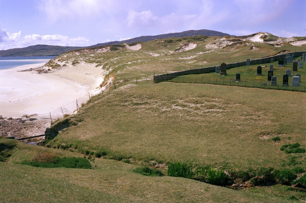
| Caption: | Luskentyre, South Harris, Outer Hebrides. An area of sand-dunes and blown sand with blow-outs. |
| Description: | Luskentyre, South Harris, Outer Hebrides. An area of sand-dunes and blown sand with blow-outs. The blow-outs, small cup or trough-shaped hollows or depressions are formed by wind erosion on pre-existing sand-dunes. They will form particularly where the protective vegetation has been removed or damaged. Note the siting of cemetery (right) in the area of blown sand. |
| Date taken: | Tue Jan 01 00:00:00 GMT 1980 |
| Photographer: | Pulsford, J.M. |
| Copyright statement: | NERC |
| Acknowledgment: | This image was digitized with grant-in-aid from SCRAN the Scottish Cultural Resources Access Network |
| X longitude/easting: | 106900 |
| Y latitude/northing: | 899000 |
| Coordinate reference system, ESPG code: | 27700 (OSGB 1936 / British National Grid) |
| Orientation: | Landscape |
| Size: | 257.52 KB; 1000 x 666 pixels; 85 x 56 mm (print at 300 DPI); 265 x 176 mm (screen at 96 DPI); |
| Average Rating: | Not yet rated |
| Categories: | Unsorted Images |
Loading...
Loading...
Reviews
There is currently no feedback